National Weather Summary for Wednesday, March 2, 2016
by David Moran, on Mar 2, 2016 10:56:04 AM
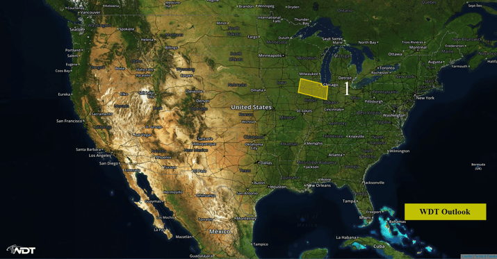
A surface low moving across the Plains will bring another round of snow to portions of Illinois and Indiana Wednesday evening into Thursday morning. Moderate snow is expected across the Interior Northeast on Wednesday as a surface low moves quickly across the region.

US Hazards
Region 1
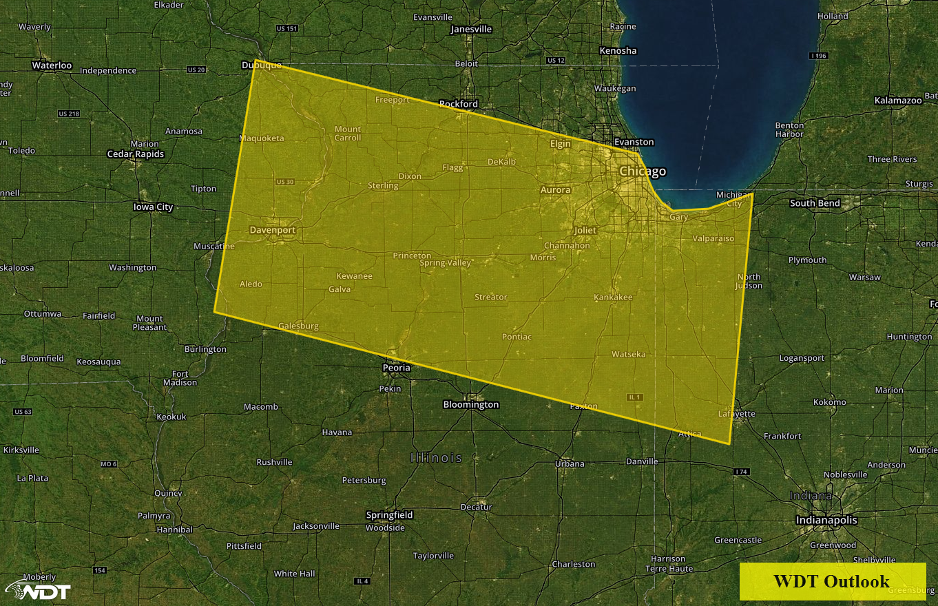
A quick moving low pressure system will likely bring another round of winter weather to Region 1 Wednesday evening into Thursday. With cold air in place, light snow should spread across the region late Thursday evening and increase in coverage and intensity into the overnight hours. Snowfall rates should be highest early Thursday morning, tapering off from west to east into the early afternoon hours. A broad swath of 2-4 inches of snow will be possible.

Region 1
Snow across Interior Northeast
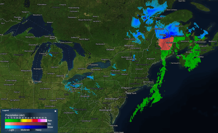
Moderate snow is expected across portions of the Interior Northeast as a surface low moves across the region. Accumulations of 3-5 inches are most likely, with the heaviest totals in excess of 10 inches possible over the higher elevations of far northern New York and Northern Maine. In addition, a trace to a tenth of an inch of ice will be possible in some areas.

Radar 11:40am EST


