National Weather Summary for Tuesday, November 21, 2017
by David Moran, on Nov 21, 2017 9:49:08 AM
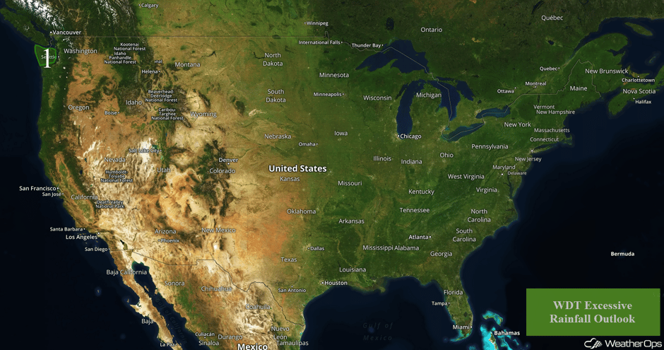
A risk for excessive rainfall will continue for portions of Washington through Wednesday as an area of low pressure approaches the Pacific Northwest.
- Risk for Excessive Rainfall Tuesday and Wednesday for Portions of Washington
 US Hazards
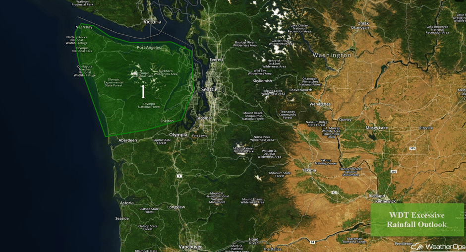
Risk for Excessive Rainfall Tuesday and Wednesday for Portions of Washington
A slow moving warm front will lift northward into Vancouver Island throughout the day and evening. Isolated light showers along the front will increase in intensity behind the front during the afternoon and early evening. Widespread rainfall totals of 2-4 inches are forecast. Isolated rainfall totals in excess of 6 inches are expected within the higher terrain of the Olympic Mountains. On Wednesday, low level moisture will continue to stream northward behind a warm front, and to the east of a slow-moving cold front. With the cold front remaining off the West Coast throughout the day, moderate to heavy rainfall will impact the area throughout Wednesday into Wednesday night. Widespread rainfall totals of 2-4 inches are forecast with locally higher amounts in excess of 5 inches within the higher terrain. For the Olympic Mountains, rainfall totals in excess of a foot are likely over the next 48 hours.
Major Cities in Region: Port Angeles, WA
 Region 1
A Look Ahead
Light snow may develop across portions of the Northeast on Wednesday on the backside of an area of low pressure; accumulations should generally be less than an inch. Some light rain could develop along the New England Coast. A few thunderstorms may develop along the Gulf Coast in association with an area of low pressure. Activity is expected to move further northward into Florida and Georgia Wednesday afternoon.
Into Thanksgiving, the area of low pressure in the Gulf of Mexico will move northeastward, bringing showers and thunderstorms to portions of Florida, Georgia, and the Carolinas. Rainfall amounts should generally be less than an inch, but some locally higher amounts will be possible. Rain will continue for portions of the Pacific Northwest; rainfall amounts of 1-3 inches are forecast across the Cascades. Some light rain may develop across the Northern Plains and Upper Midwest on Friday. An area of low pressure will move across the Great Lakes on Saturday, allowing for some light lake effect snow. Rain will continue from Washington into northern California.
This is just a brief look at current weather hazards. We can provide you site-specific weather forecast information for the purpose of protecting your personnel and assets and to assess your weather risk. Try a 7-day demo right away and learn how timely precision weather information can enhance your bottom line.


