National Weather Summary for Monday, November 27, 2017
by David Moran, on Nov 27, 2017 10:26:07 AM
Snow will continue across the Sierra Nevadas through Monday morning,
- Snow Continuing Across the Sierra Nevadas on Monday
 US Hazards
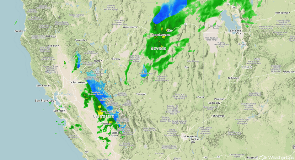
Snow Continuing Across the Sierra Nevadas on Monday
Snow is continuing across the Sierra Nevadas through Monday morning as an area of low pressure approaches the West Coast. Total snow accumulations of 7-10 inches with locally higher amounts in excess of 17 inches are forecast. Slick roads and low visibilities will be the primary hazards.
Major Cities in Region: Sacramento, CA, Fresno, CA
 Radar 6:20am PST
A Look Ahead
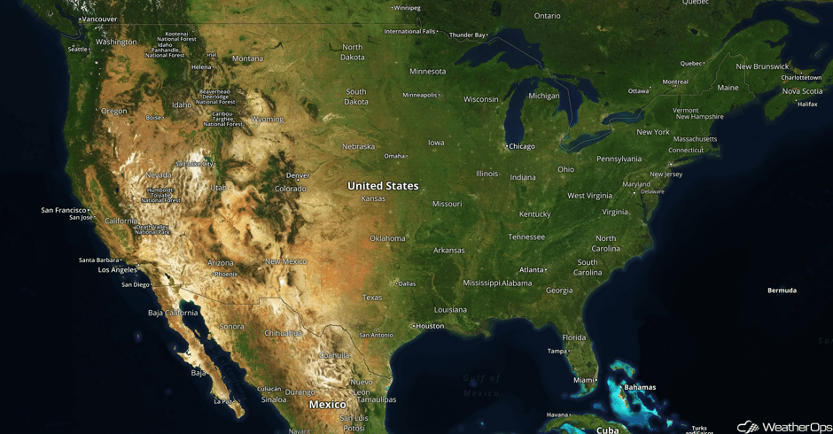
Light rain and snow are forecast from the Intermountain West to the Northern Plains on Monday ahead of a cold front; no significant accumulations are expected. An area of low pressure approaching the Pacific Northwest will bring rain and snow to the region on Monday. The cold front across the Northern Plains will bring light rain and snow to the Great Lakes and Northeast Tuesday. Rain and snow will continue Tuesday across the Pacific Northwest. By Wednesday, a cold front moving across portions of the Plains and Midwest may allow for some light rain and snow, but accumulations are expected to remain light. A cold front will track across portions of the Great Lakes, Tennessee Valley, and Northeast Thursday, allowing for some light rain and snow. The front will continue to track across the Northeast on Friday, allowing light rain and snow to continue across the region.
This is just a brief look at current weather hazards. We can provide you site-specific weather forecast information for the purpose of protecting your personnel and assets and to assess your weather risk. Try a 7-day demo right away and learn how timely precision weather information can enhance your bottom line.


