by David Moran, on Apr 11, 2016 11:02:55 AM

by David Moran, on Apr 11, 2016 11:02:55 AM
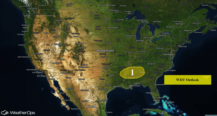
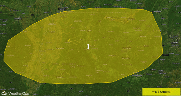
Severe thunderstorms and heavy rainfall are expected on Monday for portions of the Lower Mississippi Valley and into the Southeast.

US Hazards
An upper level trough digging into the Central Plains will cause a surface low over the Southern Plains to track eastward into the Mississippi Valley. The developing low will allow warm, moist air to be transported into Region 1. With strong upper level winds, thunderstorms are expected to become severe. Initially, the primary threat will be large hail, and possibly a few tornadoes. Storms should become linear this evening and will push eastward into the Lower Mississippi Valley. Once these storms become linear, the primary threat will be damaging winds.
Plentiful moisture will cause the possibility of heavy rainfall as thunderstorms develop. Widespread rainfall accumulations of 2-3 inches are expected across the Deep South with locally higher amounts in excess of 5 inches will be possible. This heavy rainfall may lead to flash flooding in flood prone areas.

Region 1
This is where you give the visitor a brief introduction to both this blog and your company. Keep it short. More →