National Weather Summary for Friday, March 25, 2016
by David Moran, on Mar 25, 2016 11:11:41 AM
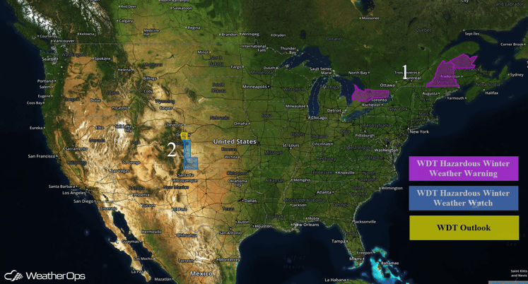
A mixture of freezing rain, sleet, and snow will continue Friday for portions of Maine. Another round of snow is expected Friday night through Saturday for portions of the Rockies.

US Hazards
Region 1
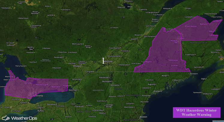
An area of low pressure will continue to move eastward across Region 1 through Friday, spreading wintry precipitation across the region. Some light snow will continue, but accumulations should remain light. Precipitation will transition from snow to sleet and then to freezing rain from south to north. As a result, higher snow amounts will be possible across Northern Maine than Central Maine. Snow accumulations of 2-4 inches in Central Maine and 4-8 inches in Northern Maine will be possible, in addition to freezing rain accumulations between a quarter and a half an inch as well as less than an inch of sleet.

Region 1
Region 2
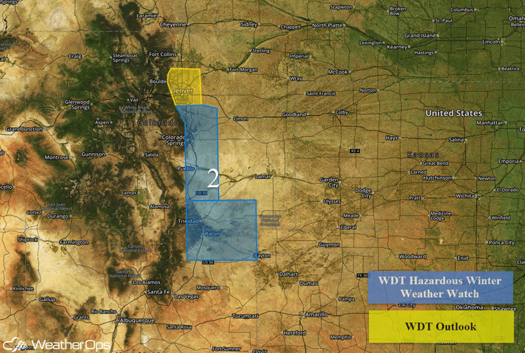
Snow is expected to move east of the Colorado Front Range on Friday. As it does, it will increase in coverage and intensity overnight Friday into Saturday as a surface low tracks south of the region. Heaviest snowfall rates should be during the afternoon hours on Saturday with snow tapering off Saturday evening. Snow accumulations of 6-10 inches will be possible with locally higher accumulations, in addition to reduce visibilities due to blowing snow.

Region 2


