


by David Moran, on Jan 26, 2018 9:45:36 AM
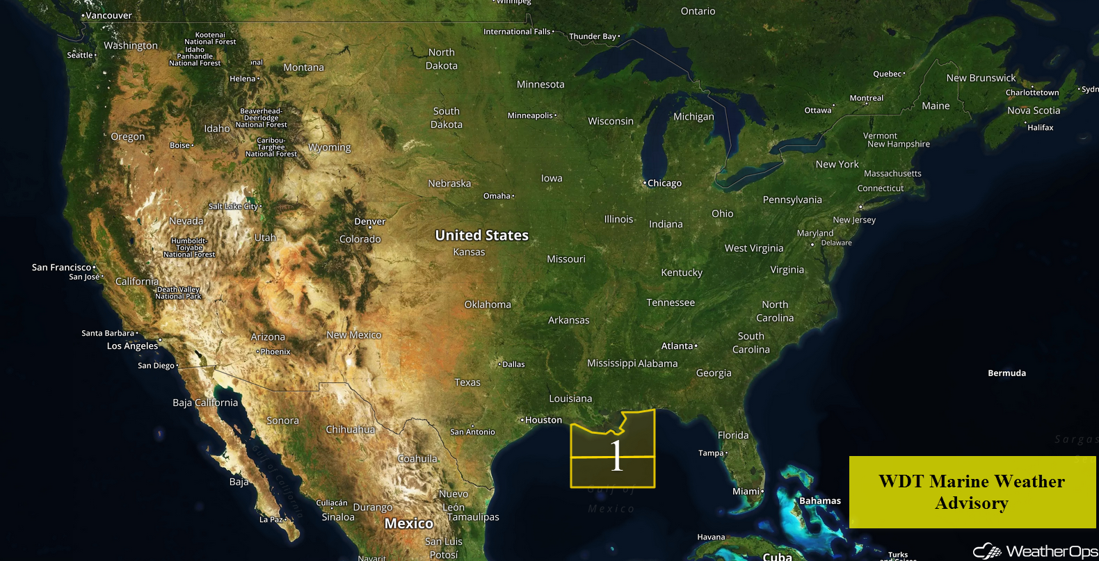
Elevated winds and seas will continue across the Gulf of Mexico through Sunday morning.
- Elevated Winds and Seas Continuing across the Gulf of Mexico through Sunday Morning
 US Hazards

Elevated Winds and Seas Continuing across the Gulf of Mexico through Sunday Morning
High pressure will continue to build southward into the Gulf of Mexico over the next few days. Winds will range 20-30 knots with gusts in excess of 35 knots. Swells will be 5-8 feet near the shore and 7-10 feet in the deeper waters. Thunderstorms may develop across the region Saturday and Sunday ahead of a cold front.
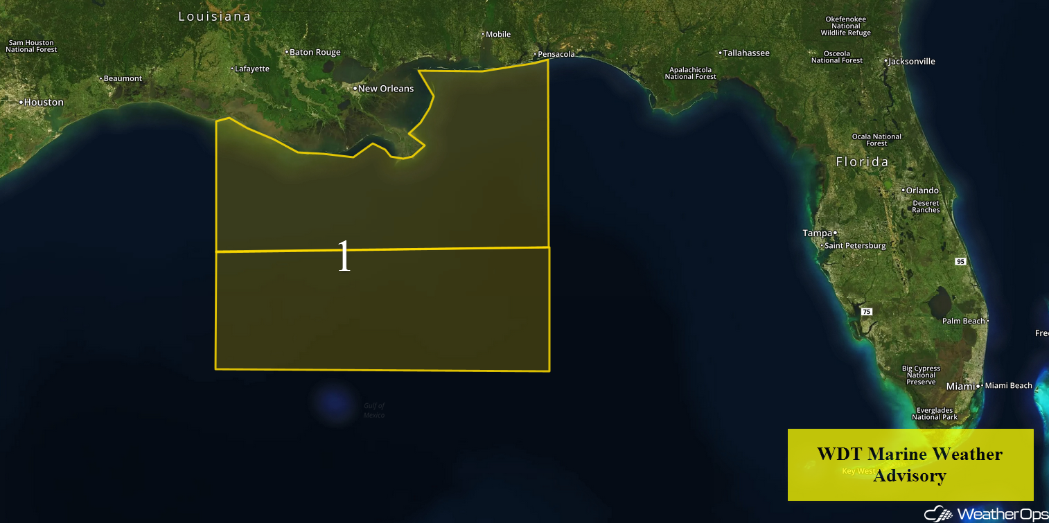 Region 1
A Look Ahead
Heavy rain and thunderstorms may develop along the Gulf Coast on Saturday ahead of a front. Across the Pacific Northwest, rain and high elevation snow are expected to continue through Monday as an area of low pressure moves eastward. Heavy rain will continue for portions of the Southeast on Sunday. Rainfall amounts will range 1-2 inches with locally heavier amounts in excess of 3 inches. An area of low pressure may bring some light snow to portions of the Northeast on Monday. An area of low pressure moving into the Plains may bring snow to portions of the Northern Plains and Upper Midwest Tuesday.
This is just a brief look at current weather hazards. We can provide you site-specific weather forecast information to protect your staff and assets and to assess your weather risk. Try a 7-day demo right away and learn how timely precision weather information can enhance your bottom line.
