National Weather Summary for Monday, November 24, 2014
by WeatherOps, on Nov 24, 2014 9:39:23 AM
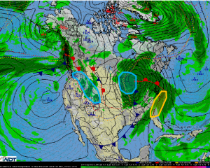
Strong to severe thunderstorms are possible Monday for portions of the Southeast and the Mid Atlantic. Moderate snowfall is possible over the Midwest and Great Lakes. Snow will continue for the Rockies and Pacific Northwest.
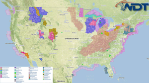
Current NWS Advisories/Watches/Warnings in iMapPro:

Warm, moist air along the coast of the Southeast and Mid Atlantic will continue to generate showers and thunderstorms as an area of low pressure lifts northward across the Great Lakes. A few severe thunderstorms will be possible with damaging winds the main concern, but hail and isolated tornadoes cannot be ruled out. Activity should come to an end by the evening.
Snow will continue across the Great Lakes ahead of an area of low pressure. 1-5 inches of snow, with isolated amounts to 8 inches, will be possible. Precipitation will begin as rain or freezing rain before changing to snow. Areas affected will include Illinois, Iowa, Minnesota, Michigan, and Wisconsin. Winds to 50-60 miles per hour will be possible for portions of Lake Huron and Lake Erie.
Periods of snow will continue today across the Central and Northern Rockies as well as the Northern Cascades. 2-6 inches of snow will be possible for the higher elevations with lower elevations of Wyoming and Montana receiving less.


