National Weather Summary for Wednesday, September 24, 2014
by WeatherOps, on Sep 24, 2014 9:53:51 AM
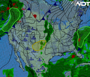
There is a slight risk for strong afternoon storms for portions of the Southern and Central High Plains. Heavy rain will continue off the coast of the Carolinas and Mid Atlantic. Moderate to heavy rain will continue for the Pacific Northwest.
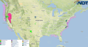
Current NWS Advisories/Watches/Warnings in iMapPro:

Strong to severe thunderstorms are expected from Eastern New Mexico and across the Oklahoma and Texas Panhandles. Hail to .75" and winds to 55 mph will be the main threats. Isolated strong to severe thunderstorms will be most likely between 3 and 8pm. For the coastal areas of the Carolinas and Mid Atlantic, heavy rain and a few embedded thunderstorms are expected for the Carolina and Delmarva coasts as an area of low pressure lingers offshore. 1.5-2.5 inches of rain is expected, with over 3 inches possible in some areas. Widespread rainfall will be possible for portions of the Pacific Northwest as an area of low pressure pushes a front and moisture into the region. 1-2 inches of rain are possible, with higher amounts in the higher elevations. Some snow will be possible in the highest elevations. Elsewhere, showers and thunderstorms are expected to extend northeastward from eastern Kansas across the central Missouri Valley and into the Upper Mississippi Valley.


