by WeatherOps, on Sep 4, 2014 9:49:01 AM

by WeatherOps, on Sep 4, 2014 9:49:01 AM
Severe thunderstorms will continue today across Wisconsin and the Upper Peninsula of Michigan. Scattered showers and thunderstorms are possible for portions of the Southeast and Mid Atlantic. Isolated showers and thunderstorms will be possible for the Four Corners region.
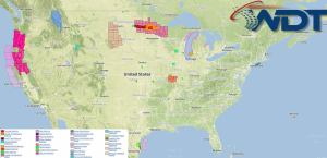
Current NWS Advisories/Watches/Warnings in iMapPro:

An area of low pressure over the Northern Rockies will move into Ontario, allowing for the potential for severe weather over Michigan and Wisconsin. Large hail and damaging winds will be the main concerns, but an isolated tornado cannot be ruled out. The cold front associated with this system will extend from the Great Lakes to the Central Plains; a few thunderstorms will be possible ahead of the front. Elsewhere, showers and thunderstorms will be possible across the Lower Mississippi River Valley and Southeast with no major impacts.
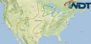
SPC Convective Outlook for Thursday

This is where you give the visitor a brief introduction to both this blog and your company. Keep it short. More →