National Weather Summary for Friday, August 29, 2014
by WeatherOps, on Aug 29, 2014 9:58:45 AM
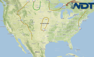
Showers and thunderstorms will continue Friday for portions of the Midwest and Great Lakes; hail, damaging winds, and isolated tornadoes will be possible. Thunderstorms will be possible across the Northern Plains ahead of a cold front. Showers and thunderstorms will continue from the Texas/Mexico border to the Texas/Louisiana border.
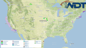
Current NWS Advisories/Watches/Warnings in iMapPro:

A trough will continue to move eastward across the Plains and into the Ohio River Valley allowing for scattered showers and isolated severe thunderstorms. A few isolated strong to severe thunderstorms will be possible through the Mississippi Valley with hail and damaging winds the main threats. Further north through Wisconsin and Michigan, a few isolated tornadoes will be possible. Moderate to heavy rain will be possible with up to 2 inches of rain possible, as well as localized flooding. Further west, a front across the Rockies will allow for isolated showers and thunderstorms. Some storms could produce hail and damaging winds.
Showers and thubnderstorms will be possible along the Texas/Mexico border to the Texas/Louisiana border in association with an area of low pressure in the Western Gulf.


