by WeatherOps, on Aug 6, 2014 9:38:50 AM

by WeatherOps, on Aug 6, 2014 9:38:50 AM
Showers and thunderstorms will be possible today for portions of the Central Plains into the Missouri Valley; isolated severe thunderstorms and heavy rain will be possible. Across the Intermountain West, isolated showers and thunderstorms will be possible. General thunderstorms will be possible for portions of the Mid Atlantic and Northeast.
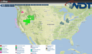
Current NWS Advisories/Watches/Warnings in iMapPro:

Scattered showers and thunderstorms will persist across the Great Basin and Intermountain West with movement of an upper level low across the Desert Southwest. Another area of low pressure will allow for showers and thunderstorms from the Dakotas into Iowa before activity shifts eastward tonight. A few storms may become severe late this afternoon or early evening with hail and damaging winds the main concerns. Areas of Northern Missouri could see 1-2 inches of rain. a trough over the Northeast may allow for showers and thunderstorms from the Mid Atlantic to the coastal areas of New England.
This is where you give the visitor a brief introduction to both this blog and your company. Keep it short. More →