Hazardous Weather Outlook for Thursday, August 7, 2014
by WeatherOps, on Aug 6, 2014 2:39:40 PM
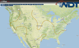
Scattered thunderstorms and heavy rain are likely tomorrow from the Upper Midwest to the Ohio River Valley. Across the Intermountain West and High Plains, isolated showers and thunderstorms are possible.
By Thursday, shower and thunderstorm activity across the Northeast is expected to gradually diminish throughout the day as a trough axis slips offshore of the Atlantic Coast. Much of the Intermountain West activity from the past couple of days will continue on Thursday while also expanding southeastward into the Central and Southern High Plains. Primary risk for perhaps more substantial thunderstorm development will remain include late afternoon/early evening thunderstorm development across the High Plains from Colorado into Northwest Texas, as well as with ongoing or redevelopment of activity tracking into the Mid-Mississippi and Ohio Valleys on Thursday evening. Risks would generally be confined to a isolated hail and damaging winds with any of the stronger storms. Some models suggest potential for a squall-line to develop over the Mid-Mississippi Valley by late afternoon, possibly tracking across the southern portion of Illinois and the Missouri Bootheel.


