by WeatherOps, on Jul 8, 2014 9:41:16 AM

by WeatherOps, on Jul 8, 2014 9:41:16 AM
Scattered severe thunderstorms will be possible today across portions of the Mid Mississippi Valley to the Northeast.
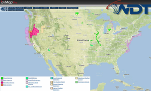
Current NWS Advisories/Watches/Warnings in iMapPro

An area of low pressure over the Upper Midwest will dig into the Ohio River Valley this afternoon. At the surface, an associated cold front will stretch from the Mid Mississippi Valley into the Northeast. Daytime heating and convergence ahead of the cold front is expected to be sufficient for thunderstorm development. Large hail and damaging winds will be the main concern, however, an isolated tornado cannot be ruled out from Ohio to New York.
This is where you give the visitor a brief introduction to both this blog and your company. Keep it short. More →