National Weather Summary for Thursday, January 16, 2014
by WeatherOps, on Jan 16, 2014 3:01:48 PM
Another clipper will move into the Great Lakes. Light snow and blizzard conditions will be possible for portions of the Dakotas, Minnesota, and Iowa. Winds could gust over 50 miles per hour at times. These strong winds, combined with the snow that had already fallen, will allow for low visibilities due to blowing snow. 1-3 inches of snow will be possible for portions of the Dakotas and Minnesota, where blizzard conditions will be the most intense.
In portions of Minnesota and North Dakota, officials are advising to not travel unless absolutely necessary. Minnesota Highway Patrol has reported several road accidents between Moorhead and Fergus Falls, Minnesota.
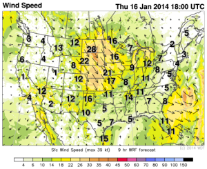
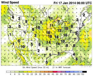
WDT WRF Surface Winds 12pm CST Thursday and 12am CST Friday
Strong winds will be likely across much of the Central Plains from the Dakotas and south into Oklahoma in association with an area of low pressure. Across portions of the Central Plains, high winds and low humidity will contribute to a high fire potential across areas of Kansas and Oklahoma.
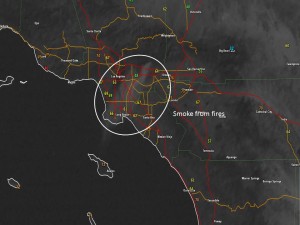
Wildfires are continuing to burn near Los Angeles and some of the smoke is actually showing up on satellite. While the winds are calm or light, relative humidity values are as low as 3% in some according to some observing stations in the area.


