National Weather Summary for Wednesday, November 9, 2016
by David Moran, on Nov 9, 2016 9:53:47 AM
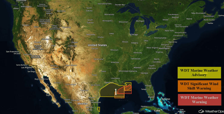
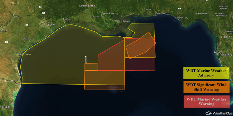
Thunderstorms will continue across portions of the northern Gulf of Mexico on Wednesday ahead of a cold front.

US Hazards
Region 1
A cold front is forecast to move across the northern Gulf of Mexico on Wednesday. As this occurs, winds will become northeasterly throughout the day. As the winds increase, seas will increase to 7-9 feet. Conditions are expected to improve by late Thursday morning.

Region 1
Tropical Update
No tropical activity is expected during the next 48 hours.
A Look Ahead
High pressure is expected to dominate most of the country, allowing for dry weather. Light snow will be possible for portions of the Northeast ahead of a cold front with accumulations of 1-3 inches over highest peaks. With high pressure in place over the Upper Mississippi Valley, below freezing temperatures will be possible for portions of the Mid-Atlantic and Southeast. By Sunday, light snow will be possible for the coastal ranges of the Pacific Northwest and Northern Rockies as an area of low pressure approaches the region. This same system may bring significant snowfall to the Northern Plains later next week.
This is just a brief look at current weather hazards. We can provide you site-specific forecast information for the purpose of protecting your personnel and assets. Try a 7-day demo right away and learn how timely precision weather information can enhance your bottom line.


