National Weather Summary for Wednesday, November 15, 2017
by David Moran, on Nov 15, 2017 10:15:43 AM
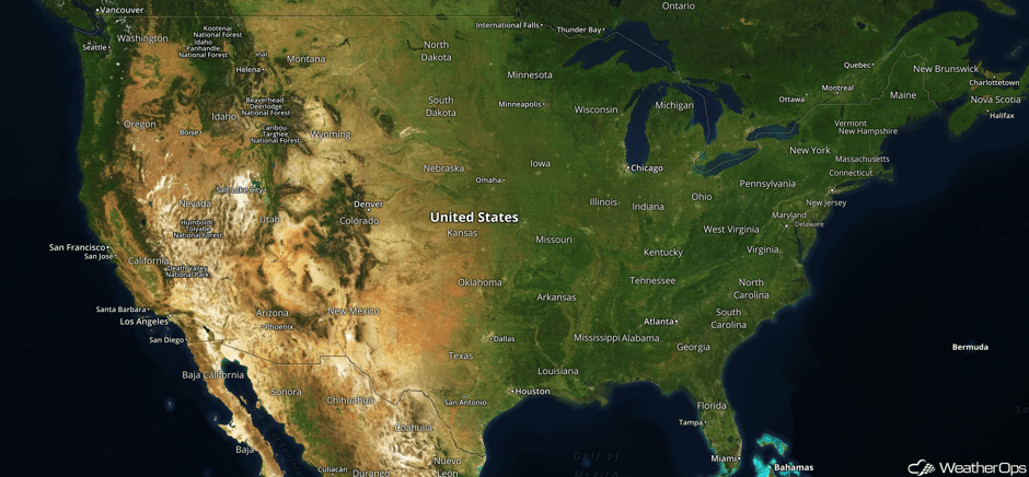
Moisture streaming onto the West Coast will bring a risk for excessive rainfall to portions of the area on Wednesday. Showers and thunderstorms will continue to move eastward across the eastern US.
- Excessive Rainfall for Portions of California and Oregon on Wednesday
- Showers and Thunderstorms Wednesday across the Eastern US
- Tropical Update
 US Hazards
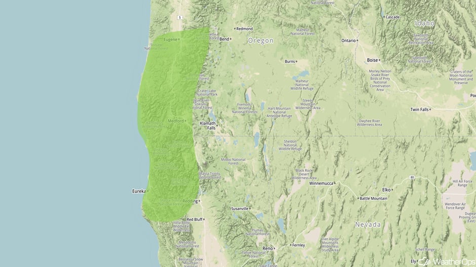
Excessive Rainfall for Portions of California and Oregon on Wednesday
An area of low pressure just offshore of the Pacific Northwest will allow for continued valley rainfall and high elevation snowfall. A cold front will move onshore and bring a risk for excessive rainfall to the region. Rainfall totals of 0.50-1.50 inches with locally higher amounts are expected.
Major Cities in Region: Eureka, CA, Eugene, OR, Medford, OR
 Excessive Rainfall Risk Outline for Wednesday
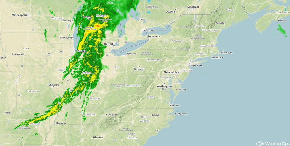
Showers and Thunderstorms Wednesday across the Eastern US
Showers and isolated thunderstorms will continue to progress eastward across the eastern US. Activity will move into the Northeast and Mid Atlantic regions later in the day.
Major Cities in Region: Memphis, TN, Louisville, KY, Cleveland, OH, Pittsburgh, PA
 Radar 10:45am EDT
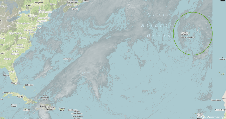
Tropical Update
A broad area of low pressure situated near the central and eastern Azores is producing disorganized shower activity while it continues to move northeastward at around 10 mph. Environmental conditions are expected to remain unfavorable for subtropical cyclone development before the low dissipates in the next day or so.
 Tropical Visible Satellite
A Look Ahead
A few thunderstorms may develop across the Central Plains on Friday as a warm front begins to lift northward. Further north, snow may develop across the Upper Midwest on the backside of an area of low pressure. Rain and snow is expected for portions of the West Coast as an area of low pressure moves onshore beginning Friday and continuing into Saturday. The area of low pressure over the Plains will move into the Great Lakes. Thunderstorms may develop ahead of the associated cold front from the Great Lakes into the Missouri Valley on Saturday. Showers and thunderstorms will move into portions of the Northeast on Sunday as the area of low pressure over the Great Lakes continues to move eastward.
This is just a brief look at current weather hazards. We can provide you site-specific weather forecast information for the purpose of protecting your personnel and assets and to assess your weather risk. Try a 7-day demo right away and learn how timely precision weather information can enhance your bottom line.


