by David Moran, on Apr 20, 2016 10:07:49 AM

by David Moran, on Apr 20, 2016 10:07:49 AM
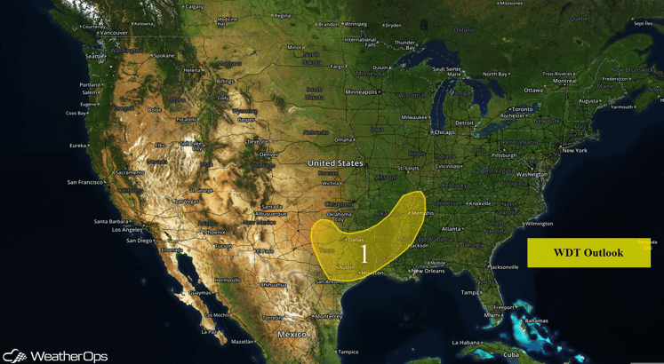
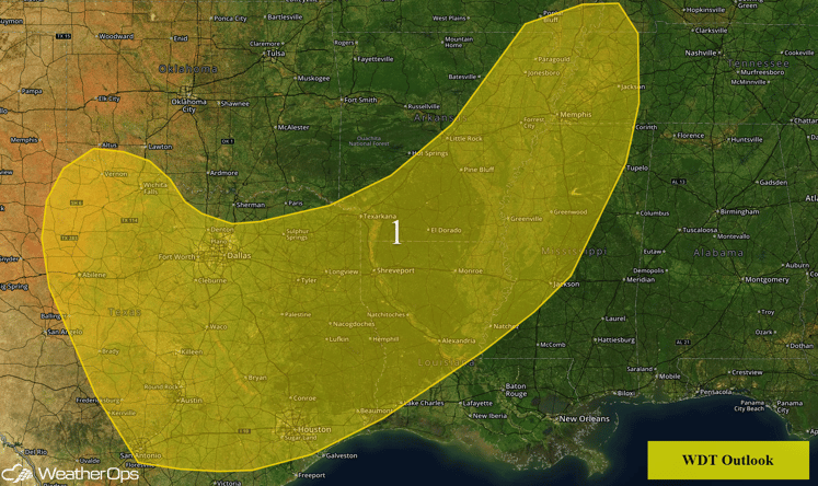
The risk for excessive rainfall will continue on Wednesday from portions of eastern Texas into the Lower Mississippi Valley. Severe thunderstorms with the potential for large hail and damaging winds will be possible across portions of the Southern Plains.

US Hazards
While the overall risk for excessive rainfall is decreasing across Region 1, the risk still continues from portions of eastern Texas into the Lower Mississippi Valley. Rainfall amounts of 1-2 inches will be possible through Thursday morning, allowing for a risk for flooding and runoff from Texas into the Missouri Bootheel region.
In addition to the excessive rainfall potential, another round of thunderstorm activity is possible across Region 1. Storms will develop during the afternoon, with supercells capable of producing large hail expected. Storms should eventually congeal into a linear system, with large hail and damaging winds being the primary threats, as the line moves south-southeastward through the evening and overnight hours.

Region 1
This is where you give the visitor a brief introduction to both this blog and your company. Keep it short. More →