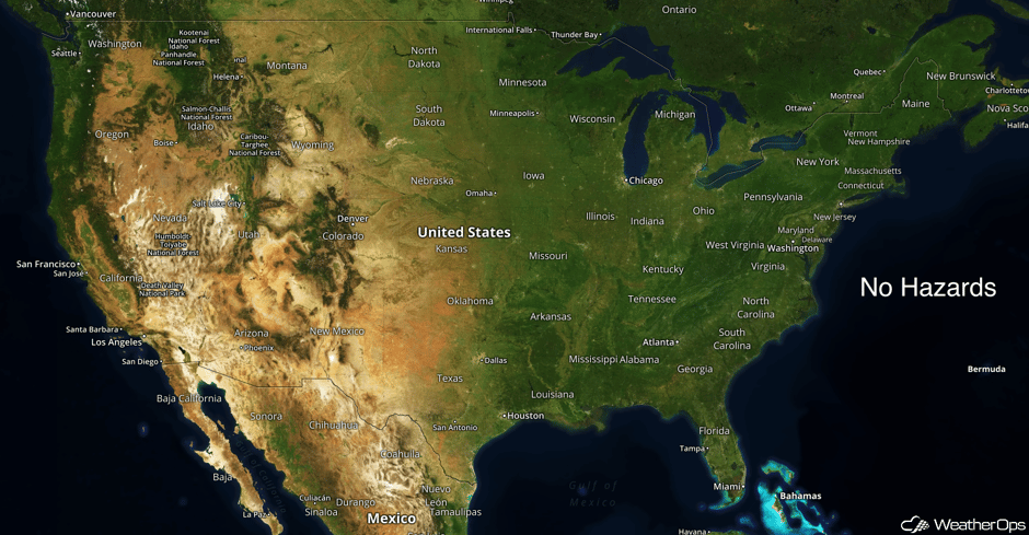
National Weather Summary for Thursday, March 16, 2017
by Daphne Thompson, on Mar 16, 2017 10:07:49 AM
There are no WDT Hazards in effect. Well below normal temperatures will persist across the eastern US today, but most of the region will be warming significantly the next few days. Above normal temperatures will spread eastward out of the Plains into the Midwest by tomorrow, and above normal temperatures should return to the Southeast by Saturday.
 US Hazards
A Look Ahead
Conditions continue to remain mostly quiet for the US for the middle of next week, but the ingredients for more interesting weather look to begin forming during this time. A low pressure system is expected to form on the lee side of the Rockies before moving into the Plains late in the day Wednesday. Severe weather and heavy precipitation are not likely for Tuesday and Wednesday, but this low should continue to strengthen as it lifts northeastward on Thursday and severe weather may then be possible for the Midwest to the Southern Plains. Elsewhere, the Pacific Low will move into the Northwest, bringing further rainfall and high elevation snowfall across the region, but overall significant accumulations are not expected.
This is just a brief look at current weather hazards. We can provide you site-specific weather forecast information for the purpose of protecting your personnel and assets and to assess your weather risk. Try a 7-day demo right away and learn how timely precision weather information can enhance your bottom line.


