National Weather Summary for Thursday, February 18, 2016
by David Moran, on Feb 18, 2016 11:31:11 AM
No hazards today, however, there will be a high wildfire danger on Thursday across portions of the Plains. A few thunderstorms will be possible across the Central Rockies. Heavy rain will be possible across portions of the Pacific Northwest.
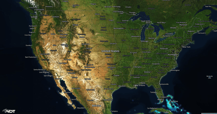
US Hazards
Wildfire potential for portions of the Plains
An area of low pressure moving out of the Central Rockies on Thursday will allow for gusty southwesterly winds of 25-35 miles per hour with higher gusts. In addition to the gusty winds, low relative humidities and warm temperatures across western much of the Central Plains will create a very high fire danger. Red Flag Warnings are in effect for portions of Colorado, New Mexico, Kansas, Oklahoma, Texas, Arkansas, and Missouri.
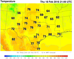
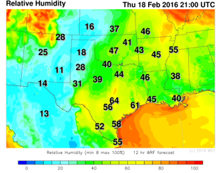
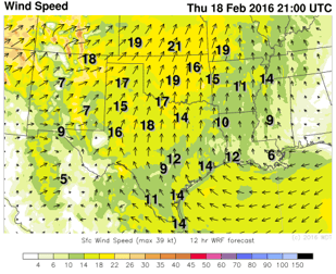
WDT WRF Temperature, Relative Humidity, and Winds 3pm CST
Thunderstorms Possible Across the Central Rockies
Thunderstorms will be possible across portions of the Central Rockies as an upper level system moves into Western Colorado. Instability should be sufficient for the development of thunderstorms. As thunderstorms develop, wind gusts in excess of 60 miles per hour will be the main hazards. The overall threat should diminish after dark.
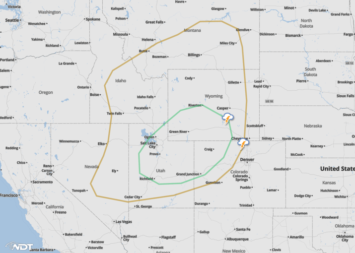
SPC Marginal Risk Outline (Green)
Heavy rain across Pacific Northwest
Heavy rain will begin this afternoon across portions of the Pacific Northwest as an upper level system approaches the West Coast. Rainfall amounts of 2 to 3 inches with locally higher amounts will be possible through tonight. Rainfall will continue through early Saturday.
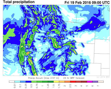 WDT WRF Total Precipitation through 1AM PST Friday


