


by David Moran, on Feb 15, 2018 10:49:08 AM
Snow will continue for portions of the Northern Rockies and Plains through Thursday behind a cold front. Excessive rainfall is expected for portions of the Ohio Valley into southwest Pennsylvania as a cold front moves eastward.
- Continued Snow for the Northern Rockies and Plains through Thursday
- Excessive Rainfall Thursday from the Ohio Valley into Southwestern Pennsylvania
- Snow for the Mid Atlantic and Lower New England on Saturday
 US Hazards

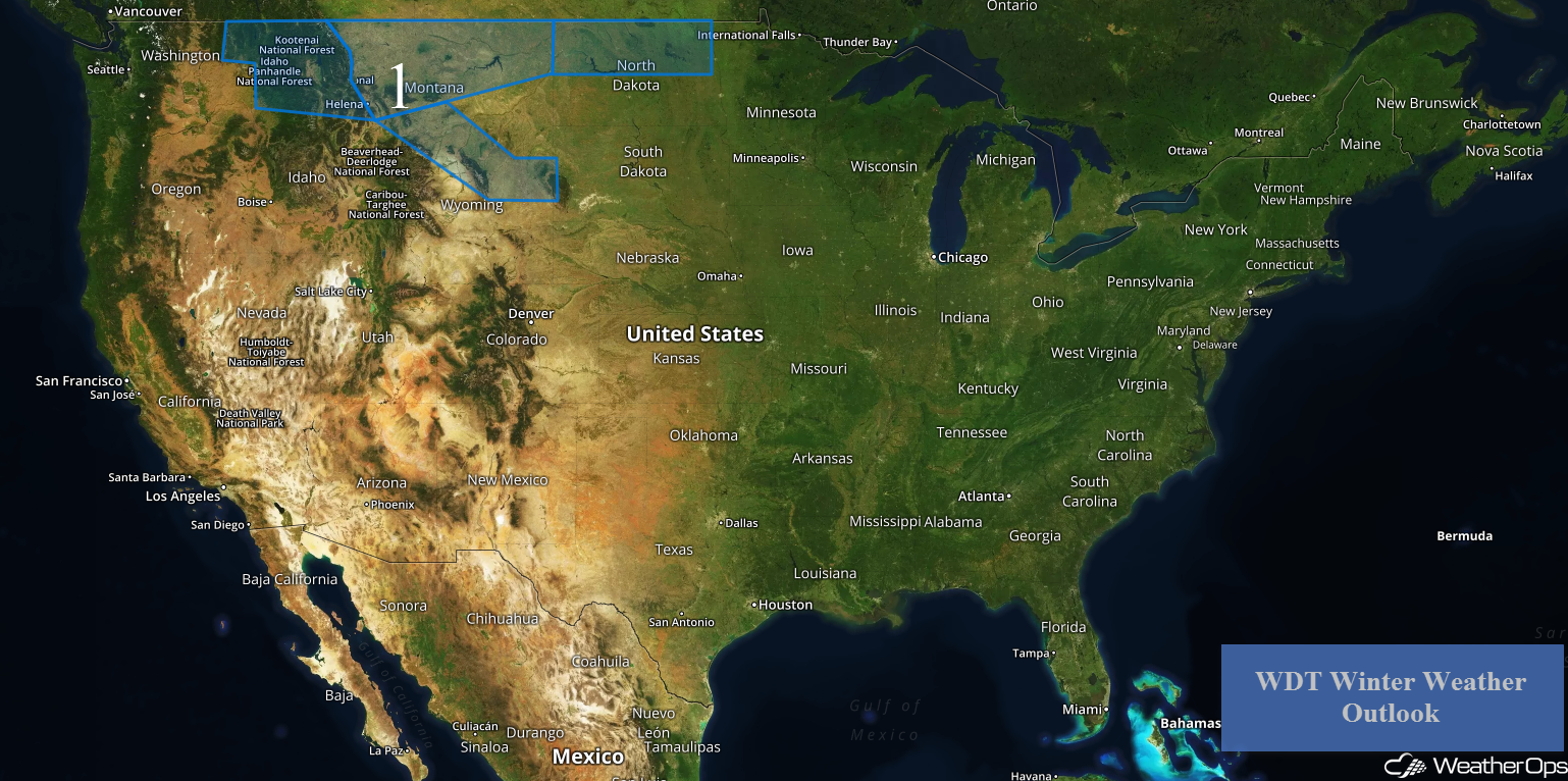
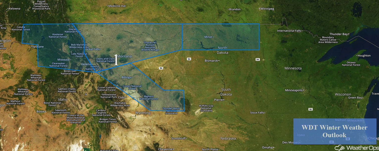
Continued Snow for the Northern Rockies and Plains through Thursday
Snow is expected to continue for portions of the Northern Rockies and Plains through Thursday in the wake of a cold front. From eastern Washington into western Montana, snowfall accumulations of 6-12 inches are forecast in the higher elevations and less than 6 inches in the valleys. Across northern and central Montana, snowfall accumulations will range 3-6 inches with locally higher amounts in excess of 8 inches. For south central Montana into northeastern Wyoming, 2-4 inches of snow are expected with locally higher amounts in excess of 5 inches. In addition, winds 15-20 mph with gusts in excess of 30 mph will allow for wind chills below zero. Further east across portions of North Dakota, snowfall accumulations of 2-4 inches with locally higher amounts in excess of 5 inches are forecast.
Major Cities in Region: Missoula, MT, Helena, MT, Great Falls, MT, Billings, MT, Minot, ND
 Region 1
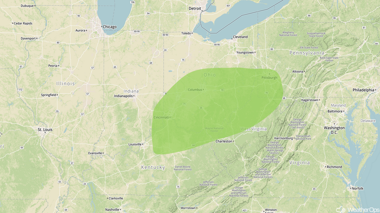
Excessive Rainfall Thursday from the Ohio Valley into Southwestern Pennsylvania
A ridge of high pressure will build southward into the Central Plains on Thursday. At the surface, a cold front will move eastward throughout the day. Showers and thunderstorms will develop ahead of the front, with the potential for excessive rainfall across the Ohio Valley. Rainfall amounts of 1.00-1.50 inches are forecast with locally higher amounts approaching 2 inches, resulting in minor flooding and local runoff.
Major Cities in Region: Cincinnati, OH, Columbus, OH, Pittsburgh, PA
 Excessive Rainfall Risk Outline for Thursday
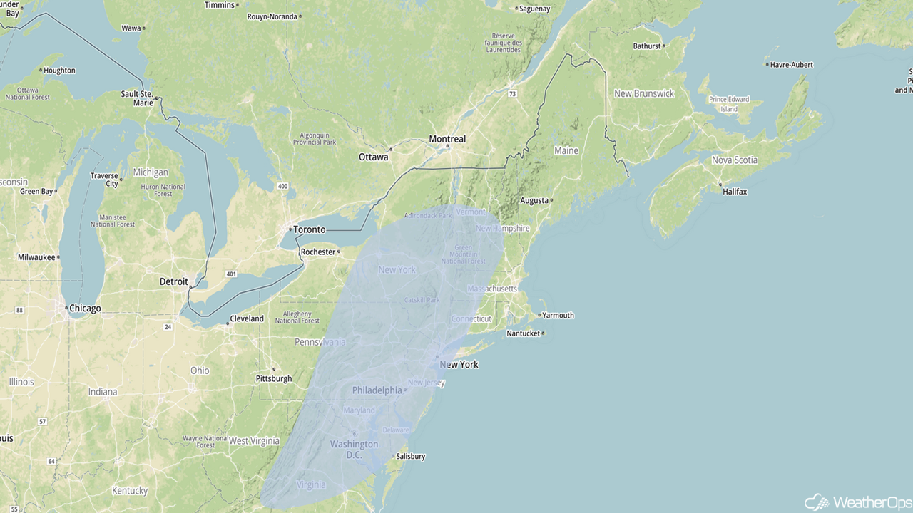
Snow for the Mid Atlantic and Lower New England on Saturday
By Saturday, a ridge of high pressure over the central US will finally break down as an area of low pressure develops over the Arklatex region. This low will quickly move northeastward toward the Mid Atlantic throughout the day with a wintry mix forecast from the Central Appalachians into New England. Warmer temperatures may limit snowfall accumulations; however, amounts ranging 1-3 inches are expected during the overnight hours into Sunday, with a thin glaze of ice in some areas.
Major Cities in Region: Washington, DC, Philadelphia, PA, New York, NY, Albany, NY
 Significant Snowfall Risk Outline for Saturday
A Look Ahead
Another round of snow is forecast for portions of the Northern Rockies and Northern Plains on Sunday as an area of low pressure develops over the Dakotas. Snowfall accumulations of 2-3 inches with locally higher amounts are forecast. As this area of low pressure intensifies further, snow will move into the Missouri Valley and Upper Midwest on Monday. Snowfall accumulations of 2-4 inches are forecast.
That is a brief look at current weather hazards. We can provide you site-specific weather forecast information to protect your staff and assets and to assess your weather risk. Try a 7-day demo right away and learn how timely precision weather information can enhance your bottom line.
