National Weather Summary for Monday, November 13, 2017
by David Moran, on Nov 13, 2017 10:38:08 AM
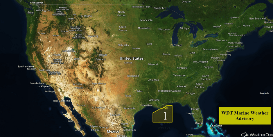
Strong winds and elevated seas will continue across the central Gulf of Mexico through early Tuesday as an area of low pressure moves through the region. Snow will continue for portions of the Northeast as an upper level disturbance moves across the region.
- Elevated Winds and Seas across the Central Gulf of Mexico through Early Tuesday
- Snow Continuing Monday across the Northeast
- Tropical Update
 US Hazards
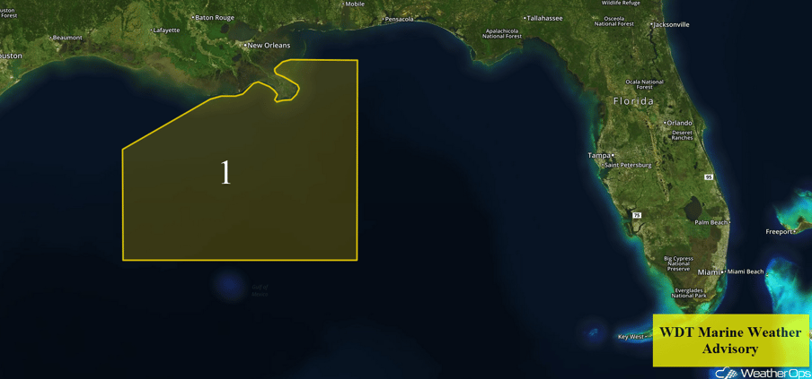
Elevated Winds and Seas across the Central Gulf of Mexico through Early Tuesday
An area of low pressure near the mouth of the Mississippi River continues to generate 20-25 knot sustained winds; these winds may expand in coverage during the day on Monday as a weak cold front moves through the eastern Gulf of Mexico during this period. Winds should begin to subside from late Monday night into early Tuesday morning. However, elevated winds and swells will allow wave heights to remain closer to 6-7 feet for southern portions of the region through early Tuesday morning.
 Region 1
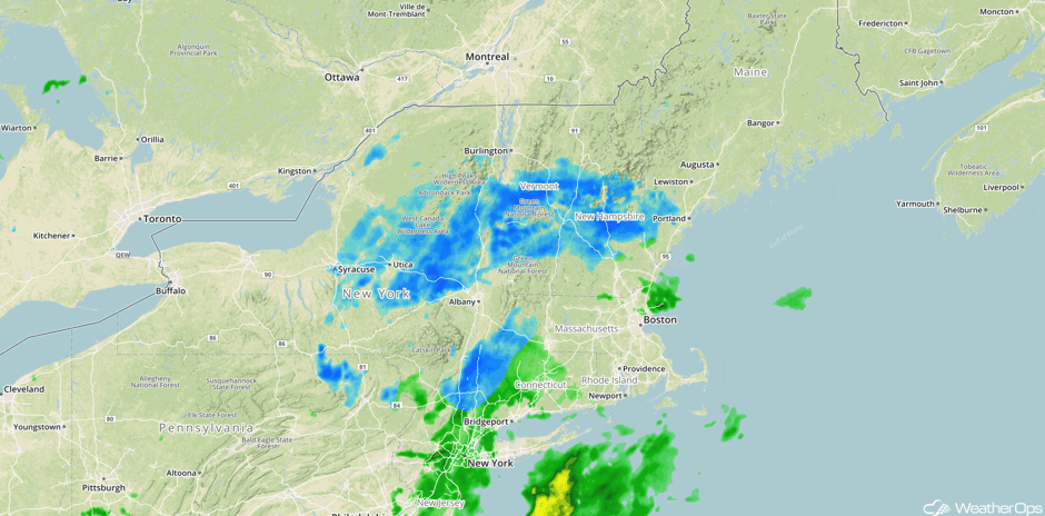
Snow Continuing Monday across the Northeast
Light snow will continue for portions of the Northeast through the day. Accumulations should be less than an inch in most places. Precipitation should taper off later tonight.
Major Cities in Region: Albany, NY, Concord, NH, Portland, ME
 Radar 10:24am EST
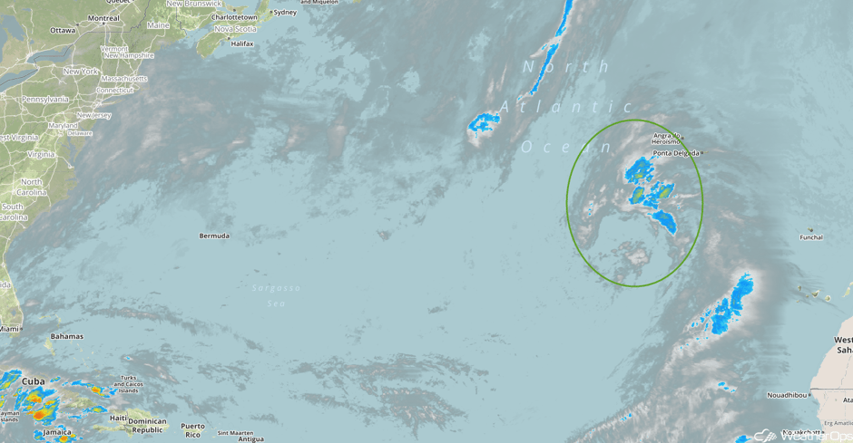
Tropical Update
Showers and thunderstorms continue to show some signs of organization in association with an area of low pressure about 600 miles southwest of the Azores. Environmental conditions are expected to be conducive for some additional development. This system could become a subtropical cyclone during the next few days while moving northeastward.
 Enhanced Infrared Tropical Satellite
A Look Ahead
An area of low pressure in the Plains will track northeastward toward the Great Lakes on Friday, bringing a warm front into the Great Lakes. To the south of this front, low level moisture will contribute to some instability across the region. This may allow for the development of thunderstorms capable of small hail and damaging winds. Further north, cold air behind this system may allow for some snow across the Upper Midwest and Great Lakes. Snow may continue across the Great Lakes into the weekend.
This is just a brief look at current weather hazards. We can provide you site-specific weather forecast information for the purpose of protecting your personnel and assets and to assess your weather risk. Try a 7-day demo right away and learn how timely precision weather information can enhance your bottom line.


