National Weather Summary for Monday, May 8, 2017
by David Moran, on May 8, 2017 11:09:41 AM
A few isolated thunderstorms may develop across portions of Colorado and New Mexico on Monday as instability builds through the day.
- Strong to Severe Thunderstorms Possible Monday across Colorado Front Range into New Mexico
- Thunderstorms for the Central and Southern High Plains on Tuesday
- Severe Thunderstorms Expected Wednesday for Portions of Kansas, Oklahoma, and Texas
- Potential for Thunderstorms across the Ohio Valley and Central Plains on Wednesday
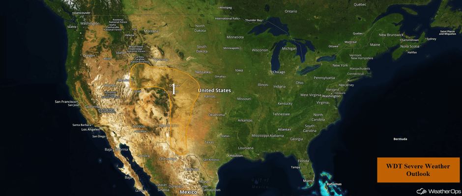 US Hazards
Strong to Severe Thunderstorms Possible Monday across Colorado Front Range into New Mexico
Scattered strong to severe thunderstorms may develop Monday afternoon and evening across the High Plains into the Intermountain West. Primary hazards with any storm that becomes severe will be large hail and damaging winds, but an isolated tornado cannot be ruled out along the Front Range. This activity will likely be scattered across much of the region, but could persist into the early evening before diminishing.
Update 1:07pm CDT: Thunderstorms are beginning to develop across eastern Colorado and western Kansas.
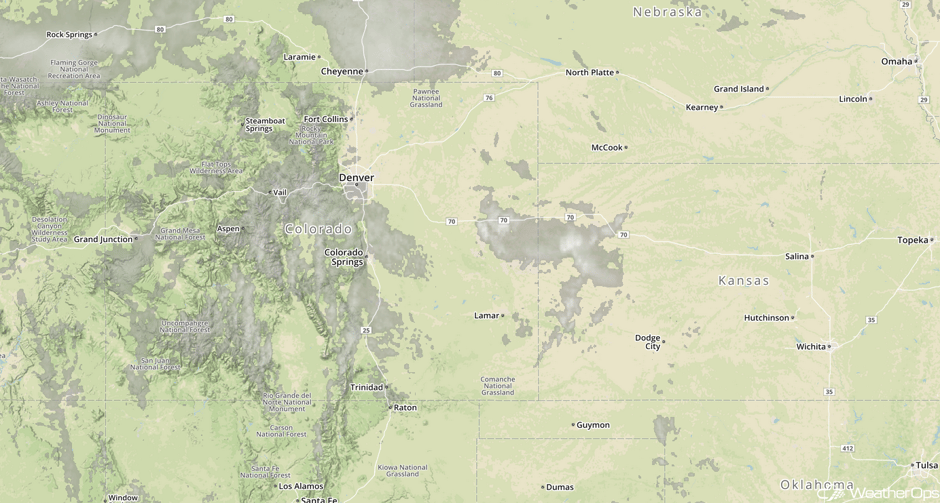 Visible Satellite 1:07pm CDT
Update 12:49pm MDT: Severe Thunderstorm Watch for eastern Colorado until 9pm MDT.
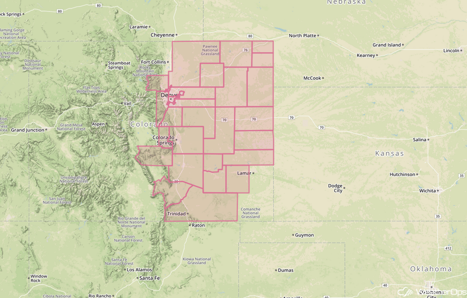 Severe Thunderstorm Watch
Major Cities in Region: Salt Lake City, UT, Cheyenne, WY, Denver, CO, Roswell, NM
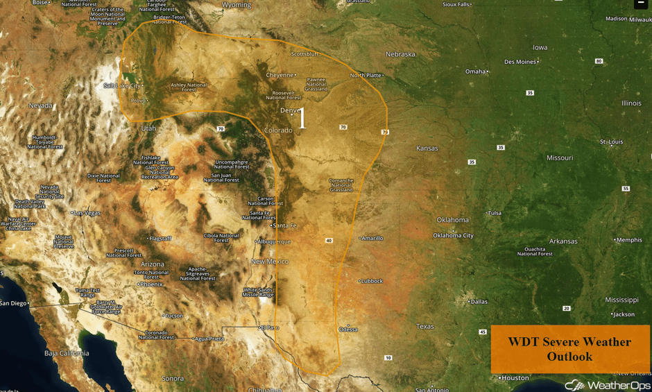 Region 1
Thunderstorms for the Central and Southern High Plains on Tuesday
Moisture return will continue into Tuesday providing more instability for the development of thunderstorms. A closed upper low over Southern California is expected to finally begin lifting northeastward, with wind shear increasing over much of the Southern and Central High Plains. As a result, scattered thunderstorms, many severe, will develop throughout the day. Large hail and severe winds will be the primary hazards with most storms, but a few tornadoes cannot be ruled out. After dark, activity will likely increase in coverage across Northeast Colorado and quickly push east as a broken line of thunderstorms. This latter development will pose a greater threat for damaging winds, but hail and isolated tornadoes cannot be ruled out.
Major Cities in Region: Albuquerque, NM, Denver, CO, Odessa, TX, Lubbock, TX, Amarillo, TX, North Platte, NE
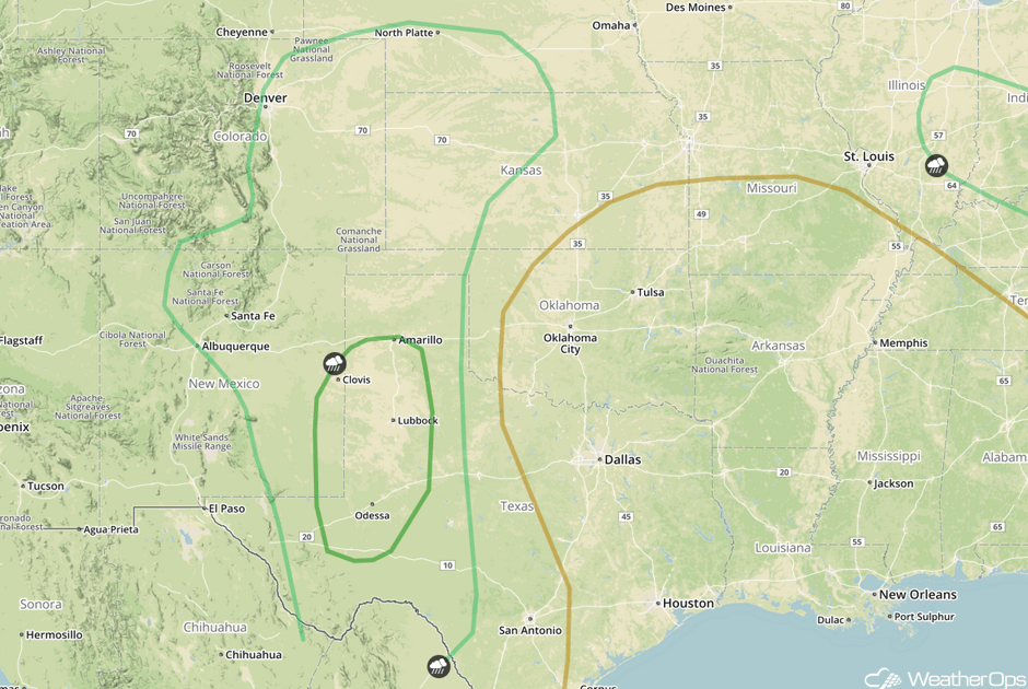 SPC Convective Outlook for Tuesday
Severe Thunderstorms Expected Wednesday for Portions of Kansas, Oklahoma, and Texas
Severe weather will become increasingly likely by the middle of the week as a closed low opens up over the Southern Plains. Several days worth of return moisture should result in plentiful moisture into Kansas, as well as a moderately unstable atmosphere over Oklahoma and Texas. Thunderstorm development is expected by mid afternoon with the potential for very large hail, damaging winds, and tornadoes. Details may change in the coming days, but this potential will be monitored closely.
Major Cities in Region: Lawton, OK,Dodge City, KS, Wichita, KS
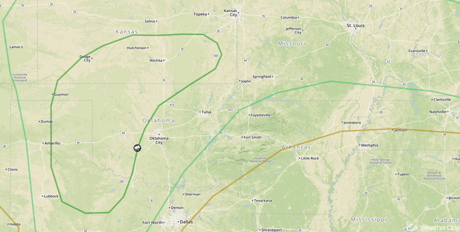 SPC Convective Outlook for Wednesday
Potential for Thunderstorms across the Ohio Valley and Central Plains on Wednesday
A stationary boundary will set up across the Central Plains and stretch eastward to the southern Ohio River Valley on Wednesday. To the south of this boundary, southerly flow will bring warm moist air northward. As daytime heating continues for much of the day, modest instability will build across the region. Combined with strong shear across the region, rain and thunderstorm activity will increase along the stationary front during the afternoon and evening. Some of these thunderstorms could be strong to severe with large hail and damaging winds the primary hazards. In addition to the thunderstorm threat, with ample moisture in place, heavy to excessive rainfall will also be possible across portions of the Central Plains. Rainfall amounts of 1-2 inches, with locally higher amounts in excess of 3 inches, are forecast. Flash flooding and excessive runoff will be potential hazards.
Major Cities in Region: Grand Island, NE, Kansas City, MO, St. Louis, MO, Evansville, IN, Louisville, KY
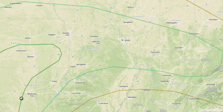 SPC Convective Oulook for Wednesday
A Look Ahead
The severe weather threat will shift eastward across portions of the Southern Plains and Ozarks into Thursday as an area of low pressure continues to progress eastward. By Friday, thunderstorms may develop across the Southeast ahead of the cold front associated with this area of low pressure.
This is just a brief look at current weather hazards. We can provide you site-specific weather forecast information for the purpose of protecting your personnel and assets and to assess your weather risk. Try a 7-day demo right away and learn how timely precision weather information can enhance your bottom line.


