National Weather Summary for Friday, November 10, 2017
by David Moran, on Nov 10, 2017 10:47:28 AM
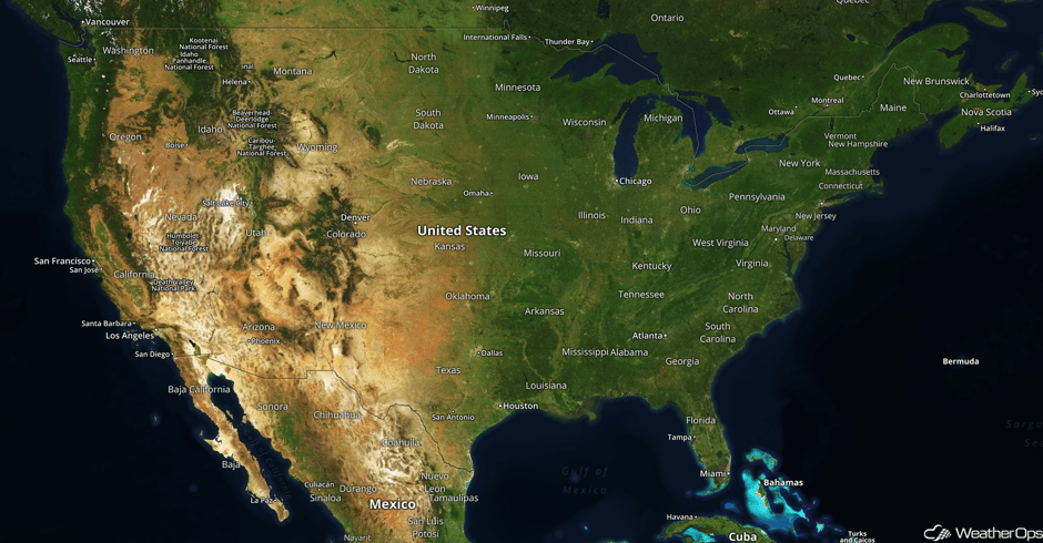
Snow will continue across the Northern Plains on Friday as an area of low pressure moves across southern Canada. Light snow is forecast for portions of the Northern Rockies late Friday and Saturday as an area of low pressure moves into the Pacific Northwest. An area of low pressure moving across the Great Lakes will bring moderate snow to the region on Saturday.
- Snow for the Northern Plains on Friday
- Potential for Snow Friday for Portions of the Northern Rockies
- Moderate Snow for Portions of the Great Lakes Saturday
 US Hazards
Snow for the Northern Plains on Friday
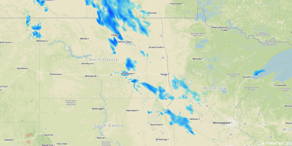
Snow will continue for portions of the Northern Plains on Friday as an area of low pressure moves across southern Canada. Accumulations should remain less than an inch. Activity should end Friday evening.
Major Cities in Region: Minot, ND, Fargo, ND, Minneapolis, MN
 Radar 8:18am CST
Potential for Snow Friday for Portions of the Northern Rockies
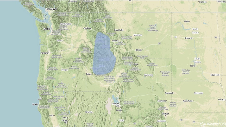
Snow is forecast for portions of the Northern Rockies late tonight into Saturday morning as an area of low pressure moves into the region. Accumulations of 4-6 inches with locally higher amounts in excess of a foot are expected. Hazardous roads and low visibilities will be potential hazards.
Major Cities in Region: Missoula, MT
 Snow Outline for Friday and Saturday
Moderate Snow for Portions of the Great Lakes Saturday
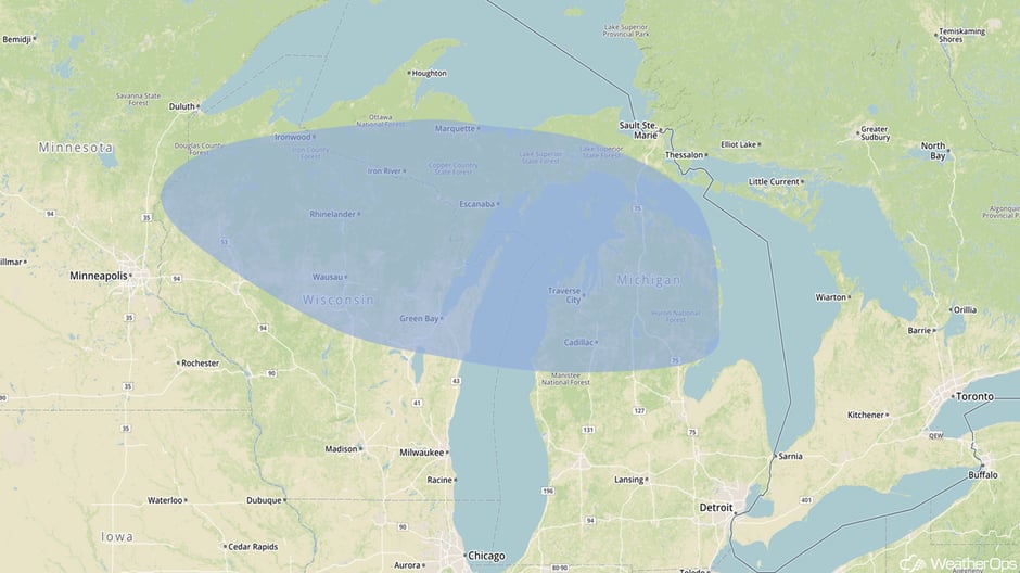
A fast moving area of low pressure passing through the Great Lakes will promote a quick burst of moderate snowfall across the region Saturday into Sunday. Snowfall amounts of 2-4 inches with locally higher amounts in excess of 5 inches are forecast.
Major Cities in Region: Wausau, WI, Green Bay, WI, Traverse City, MI
 Snow Outline for Saturday
A Look Ahead
A weak area of low pressure moving into the Central US may allow for some shower activity on Sunday, but significant impacts are not likely. Another area of low pressure will move into the Pacific Northwest on Sunday, bringing a chance for rain and high elevation snow Sunday through midweek. No significant impacts are anticipated.
This is just a brief look at current weather hazards. We can provide you site-specific weather forecast information for the purpose of protecting your personnel and assets and to assess your weather risk. Try a 7-day demo right away and learn how timely precision weather information can enhance your bottom line.


