


by David Moran, on Mar 9, 2018 10:32:35 AM
Snow will continue for portions of the Northeast through early Friday afternoon as an area of low pressure continues to move eastward. Showers and thunderstorms are forecast to develop across portions of the Gulf of Mexico Friday afternoon and continue through Saturday morning.
- Snow Continuing across the Northeast through Early Friday Afternoon
- Elevated Conditions and Thunderstorms through Saturday Morning for portions of the Gulf of Mexico
- Thunderstorms for the Southern Plains and Lower Mississippi Valley on Saturday
- Potential for Thunderstorms Sunday across the Southeast
 US Hazards

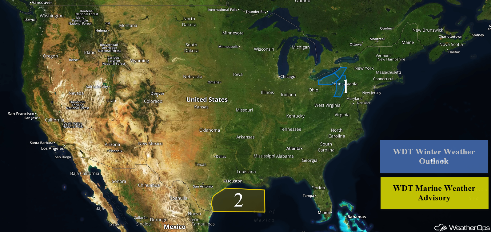
Snow Continuing across the Northeast through Early Friday Afternoon
An area of low pressure will continue to move across portions of the Northeast, bringing snow to parts of the region through early afternoon. Across Ohio and Pennsylvania, 2-4 inches of snow are expected. For western New York, snowfall totals will range 3-5 inches with locally higher amounts in excess of 6 inches.
Major Cities in Region: Cleveland, OH, Buffalo, NY, Altoona, PA
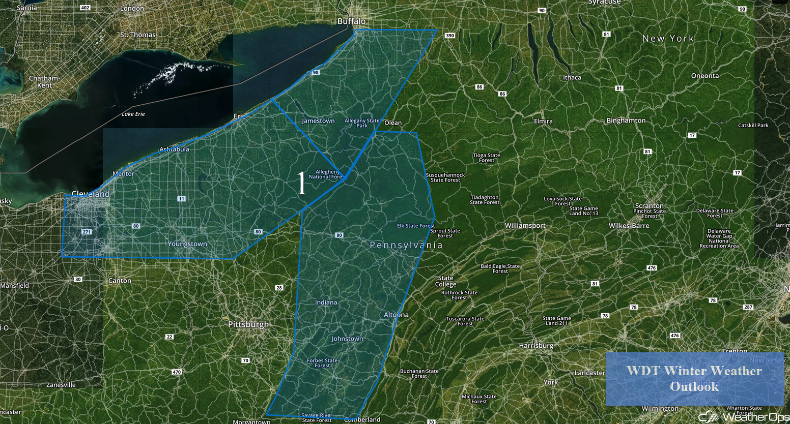 Region 1
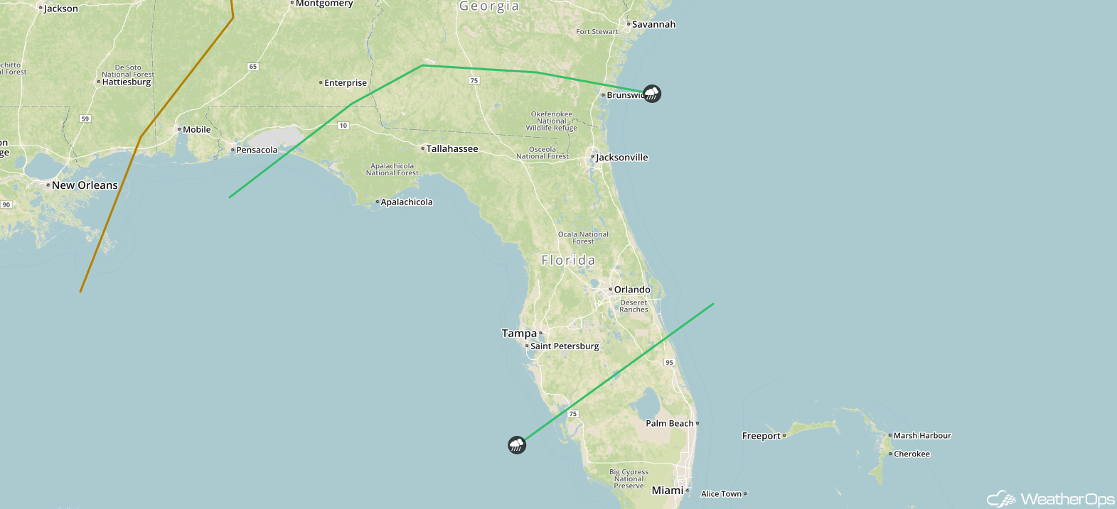
Elevated Conditions and Thunderstorms through Saturday Morning for portions of the Gulf of Mexico
An upper level disturbance moving across the Gulf of Mexico may allow for the development of thunderstorms Friday afternoon into Saturday morning. Thunderstorms could produce gusty winds and lightning. In addition, elevated winds and seas may develop. Winds of 20-30 knots with gusts in excess of 35 knots and seas of 6-9 feet are expected.
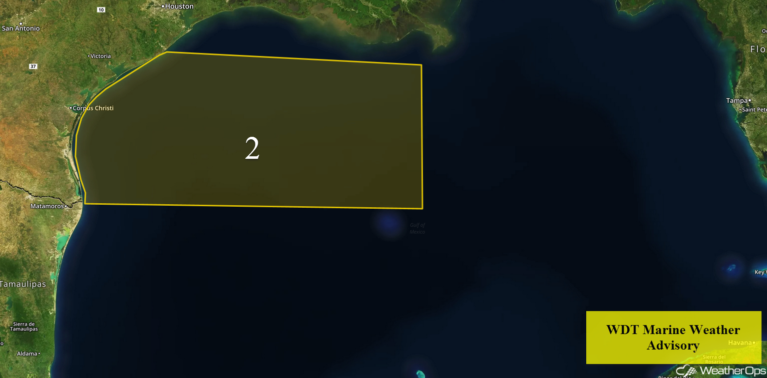 Region 2
Thunderstorms for the Southern Plains and Lower Mississippi Valley on Saturday
There will be a risk for strong to severe thunderstorms Saturday across the Southern Plains and Lower Mississippi Valley as an area of low pressure moves across the Plains. Thunderstorms will develop during the morning along a warm front and increase in coverage and intensity into the evening. Large hail will be the primary hazard, but there will also be the potential for damaging winds and isolated tornadoes.
Major Cities in Region: Shreveport, LA, Alexandria, LA, Jackson, MS, Mobile, AL, Pensacola, FL
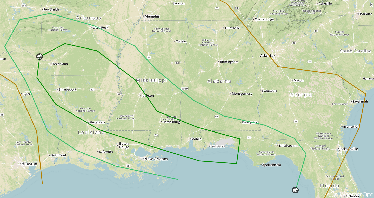 SPC Convective Outlook for Saturday
Potential for Thunderstorms Sunday across the Southeast
Thunderstorms will be ongoing Sunday in association with the area of low pressure described above. Damaging winds will be the primary hazard with these storms. By the afternoon, additional thunderstorms may develop over northern Florida. Large hail and damaging winds will be the primary hazards with these storms.
Major Cities in Region: Apalachicola, FL, Tallahassee, FL, Tampa, FL, Orlando, FL, Jacksonville, FL
 SPC Convective Outlook for Sunday
A Look Ahead
A few showers may linger across portions of the Southeast early Monday as an area of low pressure continues to move eastward. Light snow may develop across the Rockies on Tuesday as a weak disturbance moves over the region. Across the Northeast, a weak area of low pressure may allow for some light snow on Tuesday.
That is a brief look at current weather hazards. We can provide you site-specific weather forecast information to protect your staff and assets and to assess your weather risk. Try a 7-day demo right away and learn how timely precision weather information can enhance your bottom line.
