National Weather Summary for Friday, February 19, 2016
by David Moran, on Feb 19, 2016 11:28:41 AM
No WeatherOps hazards are currently in effect for Friday. However, extreme wildfire conditions will continue on Friday across portions of Kansas and Missouri, as well as portions of Western Nebraska. Heavy rain will return to portions of the Pacific Northwest.
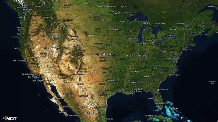
US Hazards
Wildfire conditions for portions of Kansas and Missouri
Red Flag Warnings are in effect across portions of northeast Kansas and northwest Missouri through Friday afternoon. Low relative humidities of 15-20% and west northwest winds of 10-20 miles per hour with gusts in excess of 25 miles per hour will create conditions favorable for wildfires. Any wildfires that develop will spread rapidly.
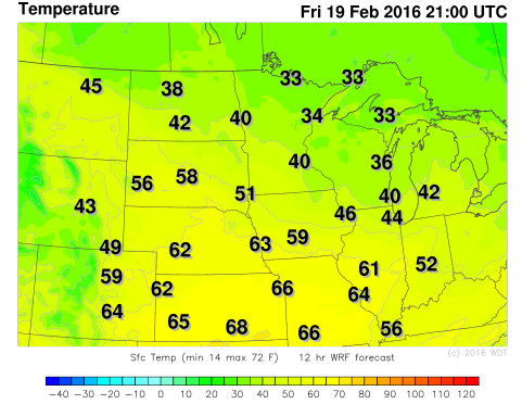
WDT WRF Temperatures 3pm CST Friday
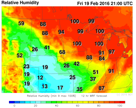
WDT WRF Relative Humidity 3pm CST Friday
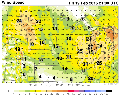
WDT WRF Winds 3pm CST Friday
Rain and snow across Pacific Northwest
Rain and snow will continue across portions of the Pacific Northwest through tonight. Snow accumulations of 3-5 inches will be possible in the valleys with 7-12 inches possible in the mountains. Snow should taper off late tonight, however, rain will continue through early Saturday morning.
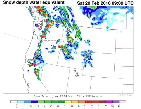
WDT WRF Snow Depth through Saturday 1am PST


