National Weather Summary for Friday, August 5, 2016
by David Moran, on Aug 5, 2016 12:13:29 PM
Thunderstorms will be possible on Friday from the Midwest into the Ozarks ahead of a cold front. Monsoonal rains will continue across portions of the Desert Southwest and into the Southern Rockies. As a cold front continues to push eastward across the Northeast on Saturday, there will be a potential for thunderstorms across the region. Across portions of Eastern Colorado and Western Kansas, there will be a risk forthunderstorms. Monsoonal rains will continue across the Four Corners region. Heavy rain will be possible across portions of Florida as an area of low pressure moves across the region. A stalled front will be the focus for the development of thunderstorms across portions of the Plains on Sunday. Thunderstorms are expected across portions of Montana with the increase in daytime heating. Heavy rain will continue across Florida as a tropical low continues to move across the region.
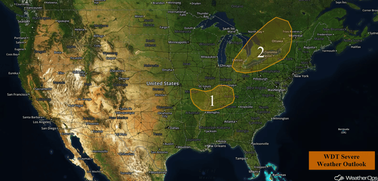
US Hazards
Region 1
An outflow boundary from a cluster of storms that moved into northern Missouri overnight could serve as the focal point for isolated strong to severe thunderstorms this afternoon and tonight over the region. These storms should develop this afternoon as daytime heating destabilizes the atmosphere. The primary threat will be damaging winds, but lightning and heavy rainfall will also be possible.
Major Cities in Region: Evansville, IN, Paducah, KY
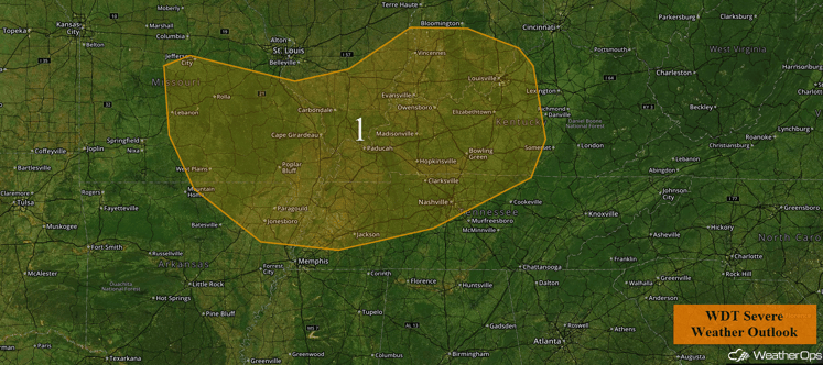
Region 1
Region 2
A cold front will move into Region 2 this afternoon. At the same time, daytime heating of a very moist air mass will destabilize the atmosphere. Widely scattered thunderstorms will develop along and ahead of the front, with a few storms becoming strong to severe. The primary threat will be damaging winds, although an isolated tornado cannot be ruled out. Frequent lightning and heavy rainfall will also be possible.
Major Cities in Region: Detroit, MI, Cleveland, OH, Buffalo, NY
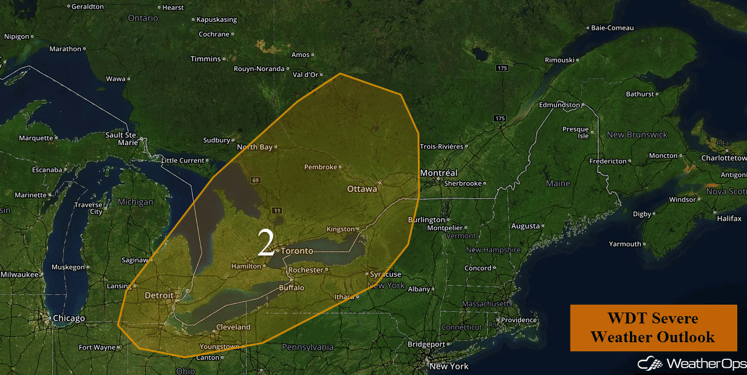
Region 2
Excessive Rainfall to Continue for the Southern Rockies and Desert Southwest on Friday
Monsoonal rainfall and moisture is forecast to remain over portions of the Desert Southwest into Friday. With abundant moisture across the region, total rainfall accumulations of 2-3 inches with locally heavier amounts in excess of 4 inches will be possible. Flooding will be possible, especially in regions with the heavy rains over the last few days.
Major Cities in Region: Flagstaff, AZ, Albuquerque, NM, Grand Junction, CO, Denver, CO
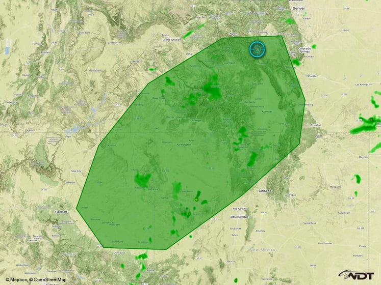
Excessive Rainfall Outline for Friday
Strong to Severe Thunderstorms Possible for the Northeast on Saturday
As a cold front continues to push to the east on Saturday, instability is forecast to build ahead of the front across portions of the Northeast. Into the afternoon, with daytime heating and forcing by the cold front, strong to severe thunderstorms may develop and quickly become a linear line of storms. The main threat will include gusty winds, frequent lightning, and heavy rain.
Major Cities in Region: Augusta, ME, Boston, MA, New York, NY
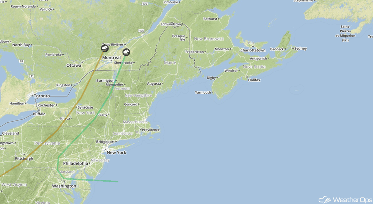
SPC Convective Outlook for Saturday
Strong to Severe Thunderstorms Possible Saturday for eastern Colorado and western Kansas
Subtropical moisture associated with the monsoon in the southwest will aid in the development of strong to severe thunderstorms over portions of eastern Colorado and western Kansas. With a stalled front over the region providing a focal point for development, the primary hazard will be gusty winds associated with strong downbursts.
Major Cities in Region: Colorado Springs, CO, Pueblo, CO
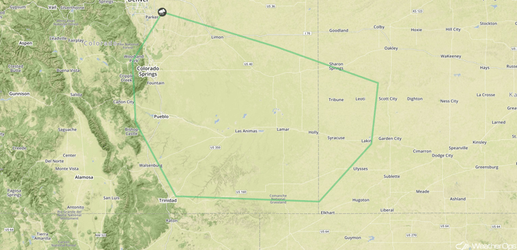
SPC Convective Outlook for Saturday
Excessive Rainfall Likely Across the Four Corners on Saturday
Monsoonal rains are forecast to continue into Saturday, however the overall threat potential will be decreasing. While total rainfall accumulations of 1-1.5 inches will be possible, the threat of flash flooding will exist due to the ongoing precipitation from the last few days.
Major Cities in Region: Durango, CO
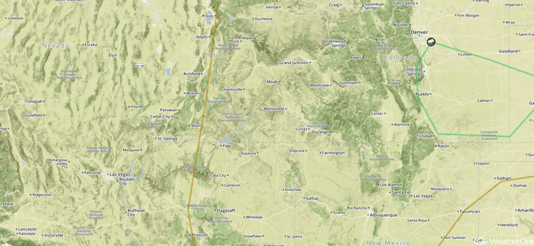
SPC Convective Outlook for Saturday
Excessive Rainfall Expected Across Florida on Saturday
Onshore flow and a weak surface low over the area will lead to heavy to excessive rainfall throughout the day on Saturday. Total rainfall accumulations of 2-4 inches with locally higher amounts in excess of 5 inches will be possible.
Major Cities in Region: Tallahassee, FL
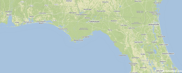
SPC Convective Outlook for Saturday
Strong to Severe Thunderstorms Possible Across the Central Plains on Sunday
Subtropical moisture associated with the monsoon is forecast to spread eastward and continue to provide the potential for strong to severe thunderstorms over portions of the Central Plains. With the stalled front remaining over the area, the front will continue to provide lift for the development of thunderstorms. Strong winds will be the main threat with any storms that develop, in addition to frequent lightning and heavy rainfall.
Major Cities in Region: Dodge City, KS, Wichita, KS
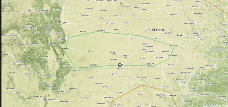
SPC Convective Outlook for Sunday
Strong to Severe Thunderstorms Possible Sunday Across Montana
Shower and thunderstorm development is forecast across portions of Montana on Sunday as daytime heating occurs, supported by a shortwave trough aloft. With the building instability over Montana and marginal dewpoints in the region, high based thunderstorms are anticipated into the afternoon. Strong gusty winds and large hail will be the primary hazards with these storms.
Major Cities in Region: Great Falls, MT
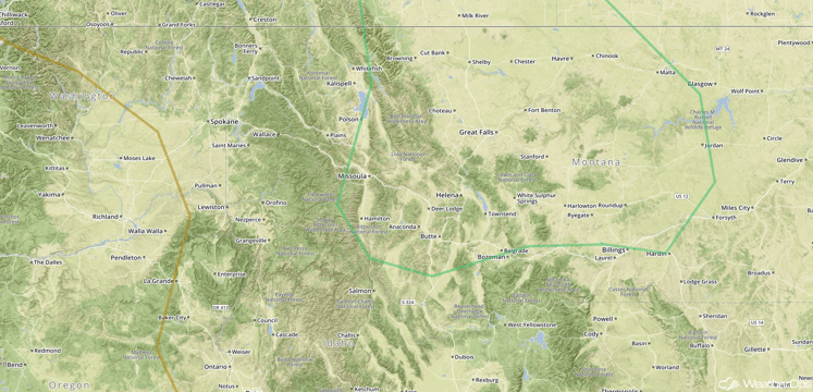
SPC Convective Outlook for Sunday
Excessive Rainfall Expected Across Portions of Florida on Sunday
As the area of low pressure continues to move across the region, onshore flow to the south of the trough will bring heavy to excessive rainfall to portions of Florida. Total accumulations of 3-4 inches will be possible with locally heavier amounts in excess of 6 inches.
Major Cities in Region: Tallahassee, FL, Jacksonville, FL, Tampa, FL, Orlando, FL
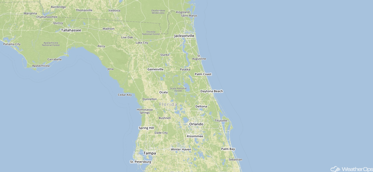
Excessive Rainfall Region for Sunday
This is just a brief look at current weather hazards. We can provide you site-specific forecast information for the purpose of protecting your personnel and assets. Try a 7-day demo right away and learn how timely precision weather information can enhance your bottom line.


