Large Hail Report 4/11/2016
by Marcus Hicks, on Apr 11, 2016 9:39:05 AM
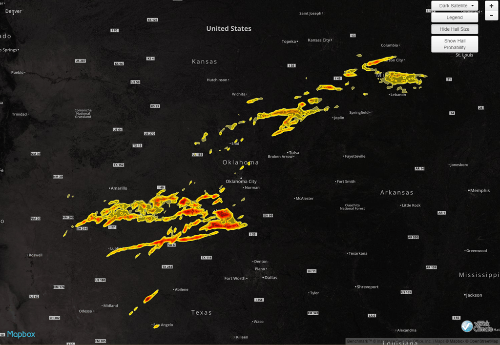
Sunday 4/10 was a pretty big hail day producing hail up to 3.25" in TX, OK and 2" to 2.25" in KS and MO.

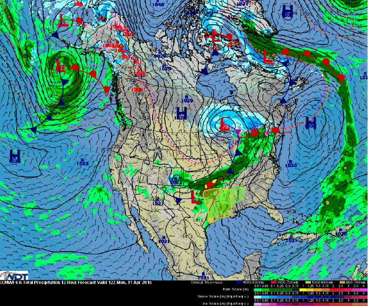
Today, a potent upper-level trough will continue to dig into the central United States. This will cause a surface low currently over the Southern Plains to track east into the Mississippi Valley.

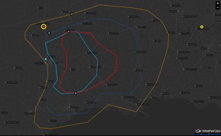
This developing surface low will result in the transport of warm, moist, and unstable air into the outlook area. Combined with strong winds aloft, thunderstorms are expected to become severe. Initially, the primary threat will be for large hail, and perhaps a few tornadoes, as storms remain discrete.

Into the evening hours, thunderstorms should begin to merge into a squall line which will push south and east into the Lower Mississippi Valley. Once the storms merge into a squall line, the severe weather threat will shift to more of a damaging wind threat.
Weather Decision Technologies is at the forefront of severe weather data and is the leading data provider, offering the latest in-house dual-pol algorithms to create stunning, accurate street-level hail maps for use by those in the roofing and construction industries.


