National Weather Summary for Wednesday, August 12, 2015
by WeatherOps, on Aug 12, 2015 4:48:47 AM
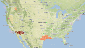
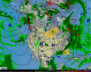
Isolated strong thunderstorms are possible on Wednesday across Minnesota and North Dakota. Scattered to numerous thunderstorms will be possible across Northern Florida. Scattered to numerous thunderstorms with locally heavy rain are possible across Arizona and Utah.
A weak disturbance and approaching cold front may allow for the development of strong to severe thunderstorms this afternoon and evening across portions of Minnesota and North Dakota. Large hail and damaging winds will be the primary concerns.
Scattered to numerous thunderstorms will be possible across northern Florida as a cold front moves southward. A few storms may become strong to severe with an isolated flash flooding threat.
Monsoonal moisture over the Southwest will allow for scattered to numerous thunderstorms across Arizona and Utah. Widespread rainfall amounts will range between .25 and .75 inches with some isolated areas picking up 1.5 inches. Flash flooding will also be possible.


