National Weather Summary for Friday, September 18, 2015
by WeatherOps, on Sep 18, 2015 4:43:02 AM
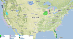
Strong to severe thunderstorms are possible on Friday for the Central Plains and Upper Missouri Valley. Heavy rain in excess of 2.50 inches is expected with flash flooding possible across the Midwest.
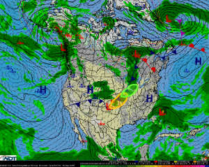
A surface low is expected to develop and track northeastward through the Central Plains, which will drive a strong cold front across the region. Showers and thunderstorms are expected to develop ahead of the trailing cold front from Southern Michigan into North Central Oklahoma. Taking into account the short wave trough and moderate instability, some thunderstorms will have the potential to become severe. Storms will likely be linear with large hail and damaging winds possible into the evening hours. An isolated tornado or two cannot be ruled out.
Heavy rain in excess of 2.5 inches will be possible from Northern Missouri northeastward into Southern Michigan today as the cold front lifts across the region. Heavy rainfall has begun across parts of these areas during the early morning and will continue as slow moving thunderstorms develop along the cold front throughout the day. Periods of flash flooding will be possible.


