National Weather Summary for Tuesday, August 18, 2015
by WeatherOps, on Aug 18, 2015 4:44:10 AM
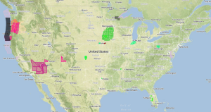
Strong to severe thunderstorms are possible Tuesday afternoon and evening across the Central Plains. Widespread heavy rainfall with locally excessive rainfall is expected across the Northern Plains.
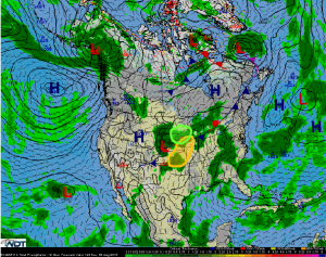
An area of low pressure is expected to develop in the Northern Plains and strengthen as the system moves northeastward into the upper Missouri Valley. A cold front associated with the low will extend from Iowa southwestward into the Oklahoma Panhandle and will be the focus for thunderstorm development during the late afternoon hours. While there is a degree of uncertainty, the instability and shear should be in place for thunderstorms to become severe. The primary hazards with any storms that develop will be large hail, damaging winds, and perhaps a few tornadoes.
Rainfall associated with the intensifying area of low pressure and upper level disturbance will likely persist throughout the day in the Northern Plains. Rain in excess of 2 inches with locally higher amounts in excess of 3 inches will be possible.


