National Weather Summary for Thursday, July 9, 2015
by WeatherOps, on Jul 9, 2015 4:42:52 AM
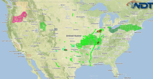
Severe thunderstorms are possible Thursday afternoon and evening across the Mid Atlantic. Heavy rainfall will be possible across the Southern Plains.
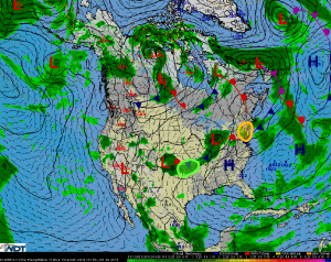
Mid-Atlantic: An upper-level trough will move into the Northeast late Thursday, providing ample lift for thunderstorm development. A warm, moist air mass at the surface, combined with moderate wind shear aloft, will allow for some of these thunderstorms to become severe. Damaging wind gusts will be the primary hazard. During the late afternoon hours, a few tornadoes will be possible, especially across western portions of the outlook area. The tornado threat will likely diminish around sunset as storms begin to merge into a large squall line, with the severe weather threat diminishing by midnight as the squall line moves offshore.
Southern Plains: A slow-moving warm front stretched across Oklahoma and Missouri is producing widespread showers and thunderstorms across the Texas Panhandle and western Oklahoma this morning. This area of rainfall will move slowly towards the east and northeast later Thursday morning and afternoon. Deep moisture and the slow-moving nature of this rain will allow for some areas to receive heavy rainfall Widespread rainfall totals of around two inches are expected across northeast Oklahoma and southwest Missouri today, with isolated higher amounts in excess of four inches possible in a few locations.


