National Weather Summary for Friday, May 29, 2015
by WeatherOps, on May 29, 2015 4:32:41 AM
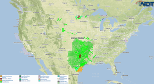
Strong to severe thunderstorms are possible Friday across portions of Texas. The potential for heavy rain will continue for portions of the Central and Southern Plains.
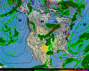
An upper level trough will continue progressing eastward into the Central United States today. A surface low pressure area and cold front will also move into the Great Plains. A fairly long corridor of showers and thunderstorms are forecast to develop from the Great Lakes region southwestward through Texas. For the High Plains and Texas Panhandle region, another round of strong to severe thunderstorms could be possible as both upslope flow occurs and storm initiation occurs near the cold front and dryline intersection. Initially high-based thunderstorms are expected to form before growing into clusters and possibly an evening linear segment. Hail and damaging wind gusts will be the main threats, although a strengthening low-level jet could promote 1-2 isolated tornadoes.
Between this morning’s shower and thunderstorm activity as well as a fresh round of thunderstorms tonight before the cold front pushes the activity out of the region, areas of moderate to heavy rainfall are yet again forecast for this already overly-saturated region. Expect 1-2 inches of rain with isolated heavier amounts within, leading to yet another day of flooding.


