National Weather Summary for Monday, May 18, 2015
by WeatherOps, on May 18, 2015 4:51:53 AM
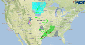
Isolated strong to severe thunderstorms are possible Monday across West Texas, Locally heavy rainfall is possible across Northern Louisiana.
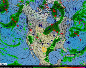
Another round of showers and thunderstorms is expected across the Southern Plains ahead of a slow moving cold front. Over West Texas, conditions will be favorable for a few severe thunderstorms. A strong cap in place could limit the severe thunderstorm activity during the day, but any thunderstorms that develop will have the potential for large hail, damaging winds, and isolated tornadoes. After subset, thunderstorm activity will likely increase as a strong upper level trough approaches, but with the loss of daytime heating, the severe weather threat will likely diminish.
Ahead of a slow moving cold front, showers and thunderstorms are expected across North Louisiana. While the severe weather threat, a few storms could become strong and produce gusty winds and small hail. The main threat will be locally heavy rain. Widespread rainfall totals of 1-2 inches will be possible with isolated amounts in excess of 4 inches.


