National Weather Summary for Tuesday, April 7, 2015
by WeatherOps, on Apr 7, 2015 9:48:48 AM
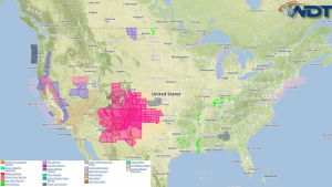
Severe thunderstorms are possible Tuesday across the Central Plains, Midwest, Southern Appalachians, and North Central California. Moderate to heavy snow is likely across the Sierra Nevada.
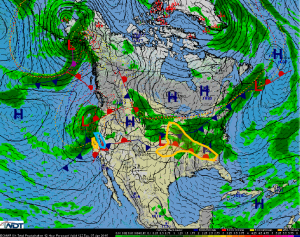
A marginal risk of severe weather is expected today from the Central Plains and Missouri Valley through the Midwest and Southern Appalachians. Storm initiation and development is expected along a low pressure system in the Central Plains and a stalled boundary in the Midwest. As storms in the Missouri Valley propagate eastward, large hail and damaging winds will be possible. Daytime heating could aid in further development. Along the triple point, an isolated tornado will be possible.
A marginal risk for severe weather will be present in North Central California as an area of low pressure moves onshore. Severe thunderstorms and high elevation snow will be possible. Thunderstorms that develop will have the potential for large hail.
Across the Sierra Nevadas, moderate to heavy snow will be possible. Winds to 45 mph and snow accumulations of 6-12 inches (up to 2 feet in the highest elevations) will be possible.


