National Weather Summary for Monday, December 15, 2014
by WeatherOps, on Dec 15, 2014 9:45:06 AM
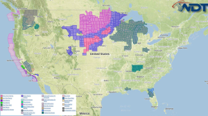
Moderate to heavy snow is expected across the Central Plains on Monday with lighter amounts across the Upper Midwest. Moderate snow is likely for the California and Oregon Mountains with heavy snow in the higher elevations. Rain and thunderstorms will continue across California; flooding and mudslides will be possible.
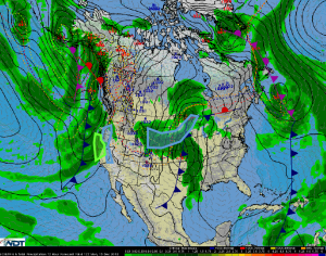
An area of low pressure moving northeastward out of the Central Plains will interact with a clipper system and the associated cold front, allowing for snow over the Central Plains and into the Upper Midwest. 2-8 inches of snow will be possible, with locally higher amounts, across the Plains, with 1-4 inches possible across the Upper Midwest.
A cold front moving into the west coast will bring periods of snow to portions of the southern Cascades, the Coastal Ranges of California, and the Sierra Nevada this afternoon and evening. 2-6 inches of snow will be common, but 8-16 inches will be possible across the higher elevations. Elsewhere, thunderstorms will be possible across western California. .5 to 1.5 inches of rain will be likely, with some areas receiving up to 3 inches. Flooding and mudslides will be possible.


