National Weather Summary for Monday, November 3, 2014
by WeatherOps, on Nov 3, 2014 9:46:59 AM
Isolated strong to severe thunderstorms are possible Monday for portions of the Southern Plains, in addition to some heavy rain for portions of the Southern and Central Plains. Heavy rain is possible for the Pacific Northwest. Heavy snow will continue for portions of the Central Rockies.
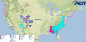
Current NWS Advisories/Watches/Warnings from iMapPro:

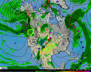
A strong area of low pressure will bring a trough and cold front through portions of the Southern Plains. While thunderstorms are expected, no widespread severe weather is anticipated. Small hail and gusty winds to 50 mph will be possible. Showers and thunderstorms across the Central and Southern Plains will produce moderate to heavy rain. 1.5-2.5 inches of rain will be possible with locally higher amounts will be possible, as well as some localized flooding. Heavy rain will continue for portions of the Pacific Northwest. 1-2 inches will be possible for the lower elevations and over 3 inches for the higher elevations. Snow will also continue across the Central Rockies. 3-5 inches of snow will be possible.


