National Weather Summary for Friday, February 14, 2014
by WeatherOps, on Feb 14, 2014 9:41:00 AM
Heavy snow continues across the Northeast as a strong winter storm exits the region. Across the Mid-Mississippi River Valley and the Midwest, moderate snowfall will be likely. Later in the evening, this low track into portions of the Mid-south, Southeast, and Appalachians, generating moderate snow for these areas. Moderate to heavy snow will continue for higher elevations and rain for the lower elevations of the Pacific Northwest.
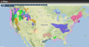
Current NWS Advisories/Watches/Warnings from iMapPro:

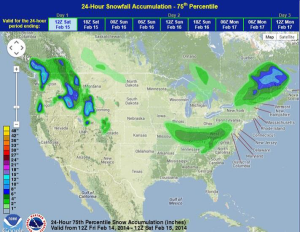
Heavy snowfall continues from Upstate New York into portions of Maine as the winter storm that affected much of the East Coast continues to move northeast. Another area of low pressure is moving through the Mid-Mississippi River Valley and will bring light to moderate snow to portions of Iowa and Illinois. Later today, moderate to heavy snowfall will expand into portions of Indiana, Kentucky, the Mid-South, and the Southeast. In the west, heavy snowfall continues throughout the higher elevations as several shortwaves track into the region. Heavy snow will be likely for the Pacific Northwest over the next few days.
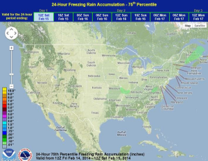
WDT preferred forecast for 24 hour snow and ice accumulation through 6AM CST Saturday


In the Northeast, snowfall rates were predicted to be as high as 2-3 inches per hour yesterday. According to the National Weather Service, 11 inches of snow were reported in the Bronx, as well as 14 inches in Fairfield, Connecticut. Even higher amounts were reported in East Rutherford, New Jersey.


