National Weather Summary for Wednesday, February 12, 2014
by WeatherOps, on Feb 12, 2014 9:39:29 AM
Moderate to heavy snow is expected today along the Southern Appalachians today. Moderate to heavy ice accumulations are expected for portions of Georgia and the Carolinas. For portions of the Northern Plains and Great Lakes, light to moderate snow is expected ahead of a clipper system. Wind chills will also be well below zero. In the west, rain and snow will continue through portions of the Cascades and Coastal Range and into the Rockies.
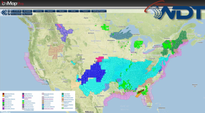
Current NWS Advisories/Watches/Warnings

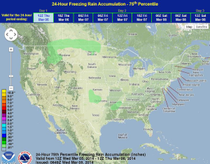
A strong winter storm is taking shape over the Southeast US as an area of low pressure develops along the Gulf Coast. A crippling freezing rain event is likely from portions of east central Georgia into Central South Carolina. Across the southern and central Appalachians, very heavy snowfall will fall through tonight.
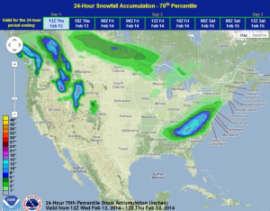
Further to the north, moderate icing and heavy snowfall will be possible for portions of Virginia into Maryland. In the Northern Appalachians, moderate to heavy snowfall will begin later today. Later tonight into tomorrow, a light mix of freezing rain and sleet, as well as moderate to heavy snow will spread north toward Philadelphia and New York. 6-12” of snow will be possible from portions of northern Georgia, into eastern West Virginia and western Virginia. Over a foot of snow will be possible for portions of the Blue Ridge in Virginia and the Great Smoky Mountains,
WDT preferred forecast for 24 hour snow and ice accumulation through 6am CST Thursday


