National Weather Summary for Monday, February 3, 2014
by WeatherOps, on Feb 3, 2014 9:21:28 AM
Moderate to heavy snow will continue through the day today across portions of the Northeast. Further to the south, along the coast of the Mid Atlantic and Southeast, showers and thunderstorms will be possible through the evening.
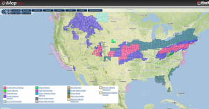
Current NWS Advisories from iMap Pro:

What is left of a winter storm is moving across the Northeastern US, bringing moderate to heavy snow from portions of Maryland to the southern New England coast. 3-6 inches of snow will be possible in most areas, however, locally higher amounts will be possible north of DC, through Southern New Jersey, and across Long Island.
To the south of this snow, snow will turn to rain where temperatures are above freezing, though within the transition zone, sleet and freezing rain will be possible.
A new area of low pressure is digging into the Southwestern US. As the low continues to strengthen, light snow will be possible for portions of the Intermountain West, with higher elevations seeing 2-4 inches of snow through tonight.
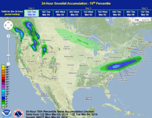
WDT preferred forecast for 24 hour snow accumulation through 6AM Tuesday

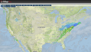
Current iMap Pro Radar Mosaic with IR Satellite Overlay:

The snow moving across the Northeast is causing hundreds of flights to be cancelled across the country. As of 8:30am EST, 1,024 flights within, into, or out of the US had been cancelled in New York. As much as 8 inches of snow will be possible for portions of the Northeast through tonight.


